01 / Dock piles
Dock pile look
ROV-borne 2D sonar inspects dock piles and revetments.
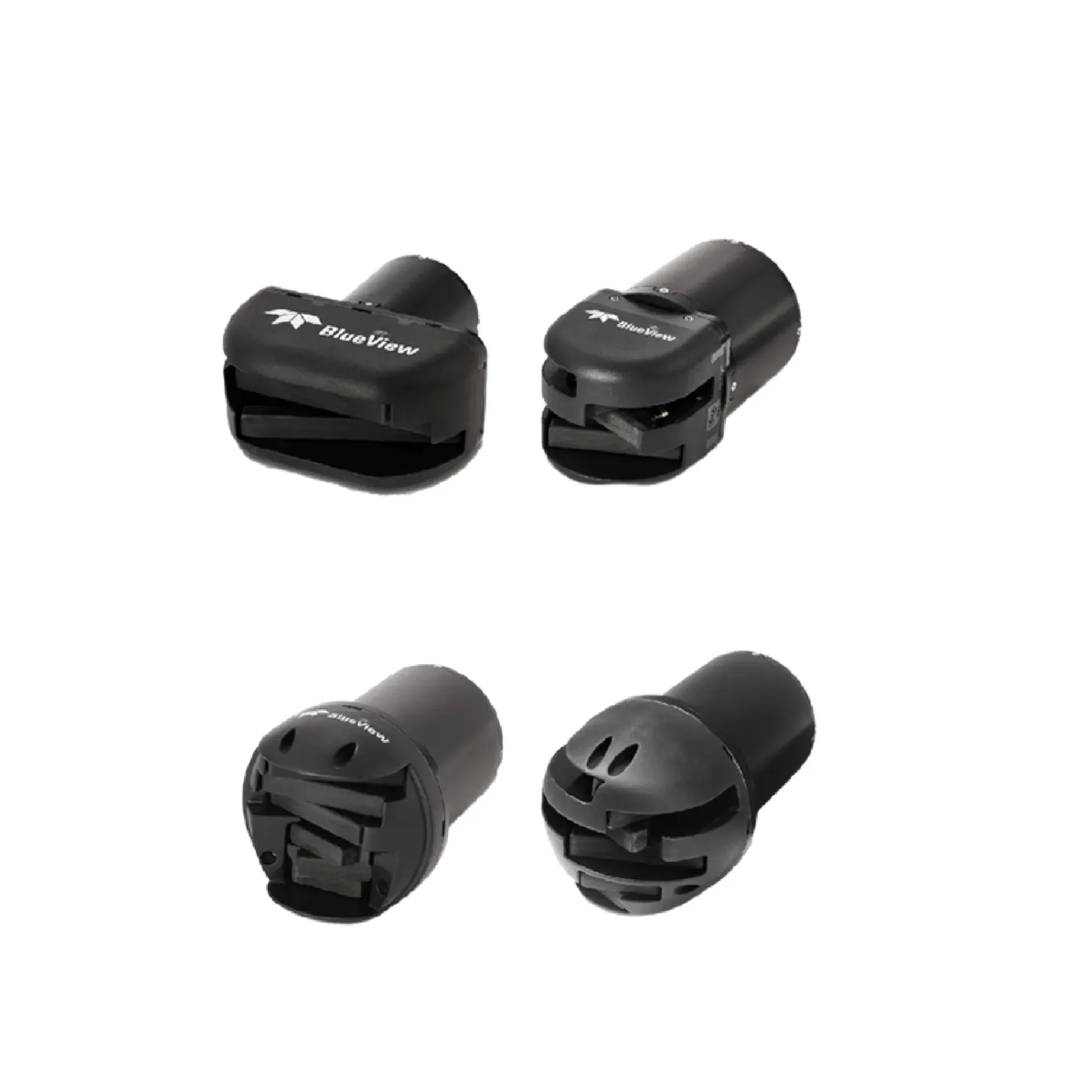
BlueView M 2D imaging sonar delivers real-time sector imagery for ROV/diver close-range structure inspection, obstacle interpretation and outline recognition. It emphasizes key survey capability, key survey capability, key survey capability, key survey capability, key survey capability, ROV payloadintegration, and integrates readily with sounding, navigation or monitoring workflows. Typical uses include key survey capability, key survey capability, key survey capability.
BlueView M-series 2D imaging sonars deliver real-time sector imagery for ROV/diver close-range structure viewing, obstacle reading and on-site outline ID.
Continuously refreshed sector imagery for field decisions.
Structure/obstacle viewing from metres to tens of metres class.
Common interfaces such as Ethernet ease mounting.
Helps outlines and relative position in low visibility.
High-frequency multibeam refreshes a 2D acoustic image across a sector so operators steer the view and log targets of interest.
Point the sonar at the target structure.
View the live 2D acoustic image.
Change aspect for key sections.
Save imagery/video for review.
BlueView M key capabilities for selection and project talks.
Typical operating scenes and platform choices for the M series.
ROV-borne 2D sonar inspects dock piles and revetments.
Probe debris, spoil and lines when visibility is poor.
Guide ROV beside piers for local inspection and survey support.
Acoustic situational awareness for divers or manipulators.
Key parameters for BlueView M (from the product page and sales description).
| Model | BlueView M |
| Type | 2D sector (Real-time) |
| Key points | Sector-scan live acoustic images for close-range underwater viewing. BlueView M-series 2D imaging sonars deliver real-time sector imagery for ROV/diver close-range structure viewing, obstacle reading and on-site outline ID. Typical use: Dock pile look; Obstacle probing; Pier-side guidance; Work-zone watch. |
| Applications | Dock pile look; Obstacle probing; Pier-side guidance; Work-zone watch |