01 / Hydrology
Hydrology
Routine monitoring on rivers, lakes, reservoirs, and hydraulic sections.
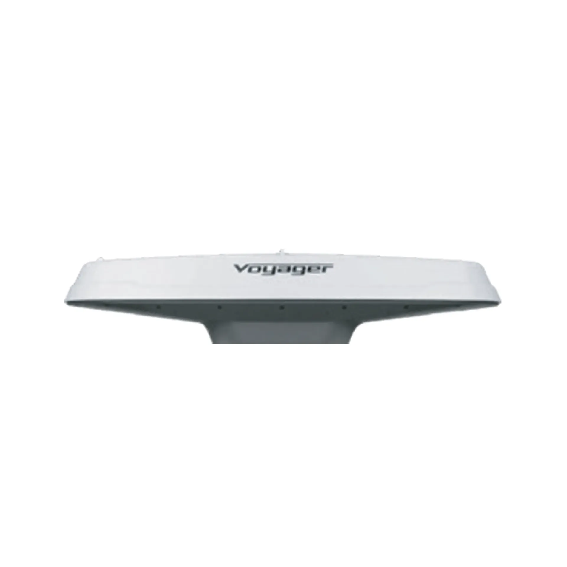
VS136 provides GNSS position and true dual-antenna heading for sounding georeferencing and vessel navigation. It focuses on True heading out, P&H in one, Nav/sounder I/O, ready to connect with sounding, navigation, or monitoring workflows. Typical uses include Hydrology, Harbor and marine, Engineering.
VS136 provides GNSS position and true dual-antenna heading for sounding georeferencing and vessel navigation.
Dual-antenna GNSS true heading without ship magnetic interference.
Position and heading together, simplifying the sensor suite.
Standard serial/network sentences for nav, sounding, and autopilot.
Marine-hardened install for deck vibration and salt spray.
VS136 follows clear collect–process–output steps matched to this product type.
Install dual antennas on the vessel axis and measure baseline.
Achieve heading fix in open conditions.
Output position/heading sentences to nav/sounding.
Periodically verify baseline and lever-arm parameters.
Key figures and field capabilities for VS136, for quick selection.
From routine monitoring to complex engineering sites, choose deployment and data links around the task.
Routine monitoring on rivers, lakes, reservoirs, and hydraulic sections.
Support harbor, channel, marine survey, and vessel engineering work.
Support dredging, placement, pipeline, mapping, and construction checks.
Connect stable outputs to shore stations or remote data platforms.
Key parameters for VS136 (from the product page and sales description).
| Model | VS136 |
| Brand | 南方海洋 |
| Product type | GNSS&RTK |
| Position | GNSS Position |
| Key points | Dual-antenna true heading plus position for sounding georeferencing. Key figures: Positioning heading compass, dual-antenna course, vessel nav, sounding georef. Typical use: Hydrology; Harbor and marine; Engineering; Long-term monitoring. |
| Applications | Hydrology; Harbor and marine; Engineering; Long-term monitoring |