01 / Hi-res port
Hi-res port charting
Fine multibeam charts of quay fronts, berths and basins.
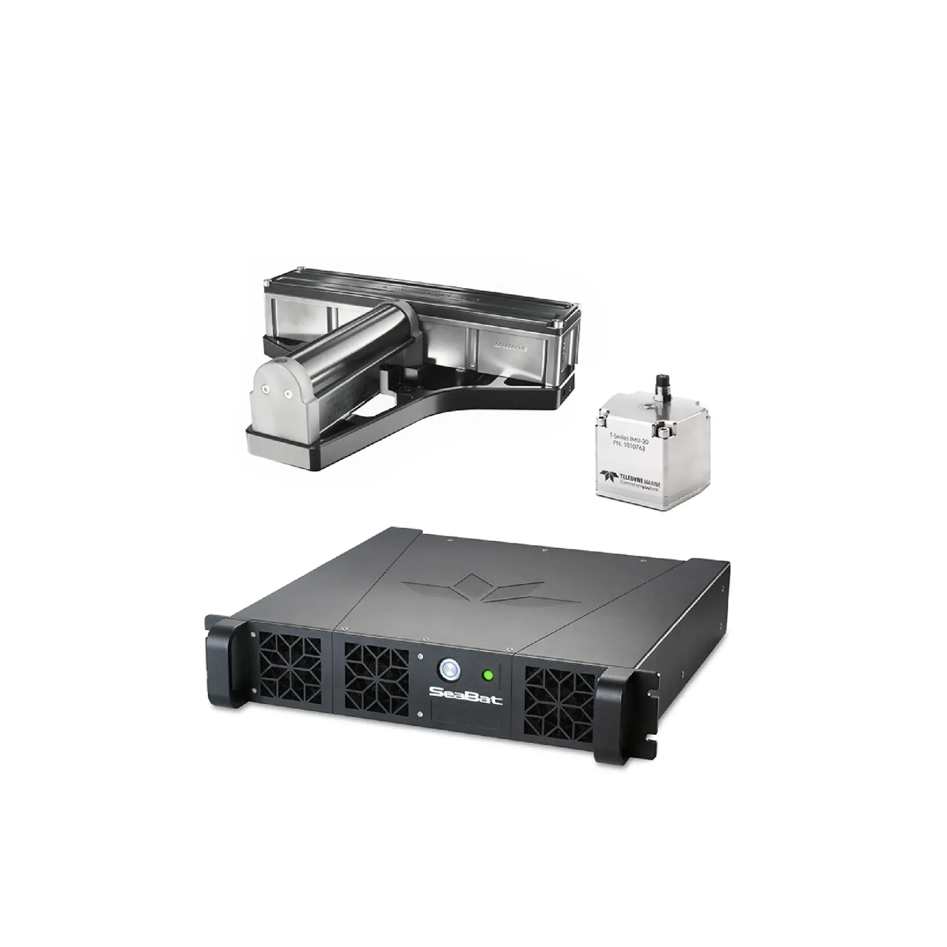
T51-R offers 700–800 kHz UHF plus 350–430 kHz extended reach; ~0.25° across-track at 800 kHz, swath to ~170°, AI sonar controls and optional INS. It focuses on 700–800 kHz UHF, 350–430 kHz reach, AI sonar controls, ready to connect with sounding, navigation, or monitoring workflows. Typical uses include Hi-res port charting, Reach-extended survey, Structure-density lines.
T51-R offers 700–800 kHz UHF plus 350–430 kHz extended reach; ~0.25° across-track at 800 kHz, swath to ~170°, AI sonar controls and optional INS.
True 800 kHz array for extreme detail with up to ~7× water-depth efficiency (leaflet).
Lower band for surveys needing longer range.
Less operator tuning load for continuous survey efficiency.
2U rack, standard 25 m cables, optional Type +20/+40 INS.
Hull T51-R: swath tx → beamform → depths → chart.
Fix tx/rx transducers to hull or pole.
Transmit swath and form receive beams.
Solve swath depths with motion/SV correction.
Export strips to charting and project store.
Core capabilities of T51-R for selection and project discussions.
Typical operating scenes and platform choices for T51-R.
Fine multibeam charts of quay fronts, berths and basins.
Switch low band for coastal legs that need more reach.
Lock/dam and bridge reaches that need denser data.
Auto sonar tuning supports long multi-cruise load reduction.
Key parameters for T51- (from the product page and sales description).
| Model | T51- |
| Brand | Reson |
| Product type | Multibeam echo sounder |
| UHF | ~0.25° (along ~0.5°) |
| LF | ~0.5° (along ~1°) |
| Swath | to ~170° (from 10°) |
| Depth | 0.5–85 m (max CW ~125 m) |
| Key points | Ultra-high frequency for detail, with selectable low band for longer range. T51-R offers 700–800 kHz UHF plus 350–430 kHz extended reach; ~0.25° across-track at 800 kHz, swath to ~170°, AI sonar controls and optional INS. Typical use: Hi-res port charting; Reach-extended survey; Structure-density lines; Load-light multi-cruise. |
| Applications | Hi-res port charting; Reach-extended survey; Structure-density lines; Load-light multi-cruise |