01 / Bathymetry
River & harbor bathymetry
Rivers, estuaries, harbors and nearshore—wide swath speeds mapping.
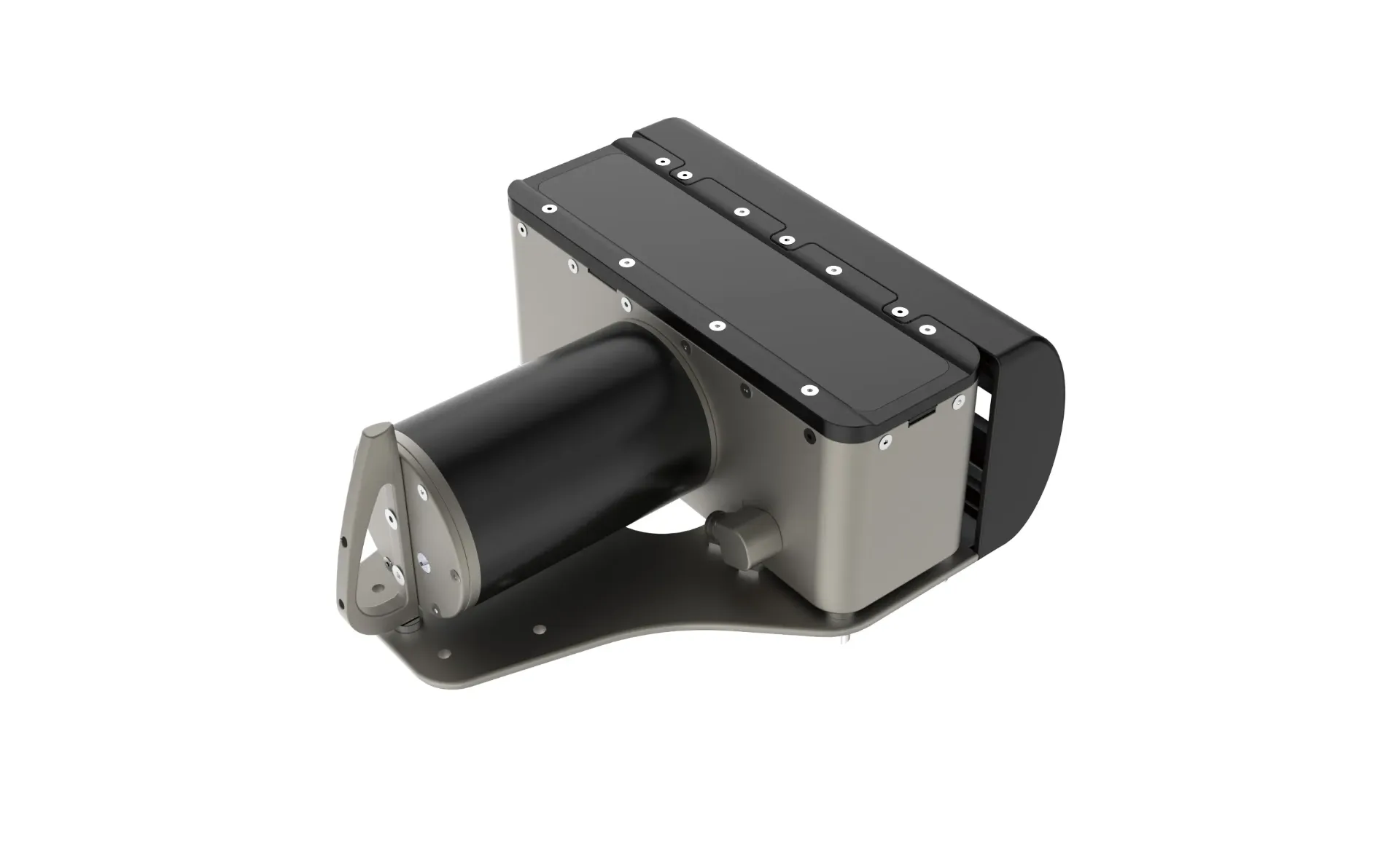
For USV/ROV/AUV and portable over-the-side installs: compact, low power, up to 1024 beams per ping. It focuses on System under 6.5 kg, Swath up to ~140°, Up to 1024 beams, ready to connect with sounding, navigation, or monitoring workflows. Typical uses include River & harbor bathymetry, Pipeline & inspection, Unmanned platforms.
For USV/ROV/AUV and portable over-the-side installs: compact, low power, up to 1024 beams per ping.
Light split arrays and processor—one person can deploy on small unmanned platforms.
400 kHz multibeam with swath up to ~140° for efficient channel and harbor surveys.
Up to 1024 soundings, ~0.75 cm depth resolution, CW/FM processing for range and accuracy.
IMU in the receiver—no tedious install calibration; roll stabilization ~±10°.
T400 forms a 400 kHz fan of beams—each ping covers a wide swath; IMU and sound speed yield dense depth points.
The projector forms a wide acoustic fan covering both sides of the track.
Beamforming yields up to 1024 sounding beams in different directions.
Built-in IMU for roll/pitch plus SVP geometry correction to georeferenced depths.
Ethernet output to acquisition software; equidistant/high-density modes, ping rate up to ~60 Hz.
From ultra-shallow to ~150 m—wide swath and dense beams for efficiency and detail.
Bathymetry, pipeline and coastal surveys, plus USV/ROV/AUV integration—T400 makes multibeam easy to embark.
Rivers, estuaries, harbors and nearshore—wide swath speeds mapping.
Pipeline and site surveys—dense beams help resolve fine topography.
Small and efficient for USV, ROV and AUV integration.
Rapid deploy for search-and-rescue and emergency underwater mapping.
Key parameters for T400 (from the product page and sales description).
| Model | T400 |
| Brand | 南方海洋 |
| Product type | Multibeam echo sounder |
| Range | 0.2 – 150 m |
| Swath | Up to ~140° |
| Beams | 1024 · 0.75 cm |
| Platform | <6.5 kg · <60 W |
| Key points | 400 kHz, about 140° swath, up to 1024 beams, sounding 0.2–150 m. System under 6.5 kg. Swath up to ~140°. Typical use: River & harbor bathymetry; Pipeline & inspection; Unmanned platforms; SAR & emergency mapping. |
| Applications | River & harbor bathymetry; Pipeline & inspection; Unmanned platforms; SAR & emergency mapping |