01 / Bathymetry
River and lake bathymetry
Carry depth and positioning payloads for river and lake surveys.
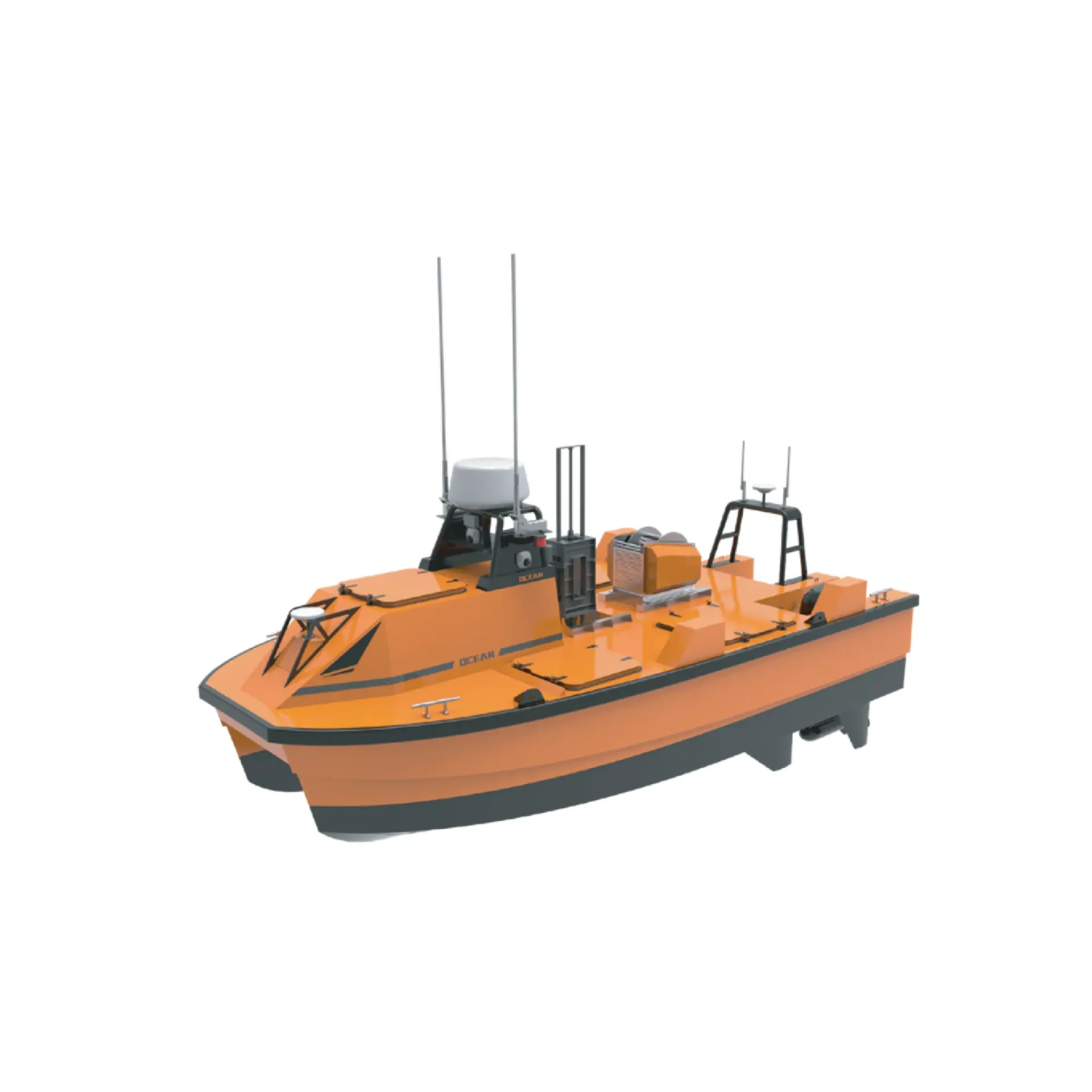
SU40 is a compact survey USV for sounding payloads with remote or autonomous routes. It focuses on USV survey platform, Mission endurance, Sounding payload I/O, ready to connect with sounding, navigation, or monitoring workflows. Typical uses include River and lake bathymetry, Harbor channels, Dredging monitoring.
SU40 is a compact survey USV for sounding payloads with remote or autonomous routes.
Compact hull with survey payloads for calibration, resurvey, and tight waters.
Plan routes by survey area; reduce wading and repeat passes.
Stable mount and data links for echosounder and GNSS payloads.
Live position, battery, and progress for fast exception handling.
SU40 follows clear collect–process–output steps matched to this product type.
Set the survey area, route, and safety boundary ashore.
Follow the route while payloads log depth and position.
Return position, status, and soundings for remote decisions.
Sync data after the mission for reviewable deliverables.
Key figures and field capabilities for SU40, for quick selection.
From routine monitoring to complex engineering sites, choose deployment and data links around the task.
Carry depth and positioning payloads for river and lake surveys.
Remote surveys in narrow channels, basins, and shallow water.
Support before/after comparison, progress checks, and spot resurvey.
Deploy quickly in hard-to-access water while reducing personnel risk.
Key parameters for SU40 (from the product page and sales description).
| Model | SU40 |
| Brand | 南方海洋 |
| Product type | Unmanned survey vessel |
| Control | Remote / autonomous |
| Payload | Sounder · GNSS |
| Key points | 4.5 m full-function survey unmanned boat for remote and autonomous sounding. Key figures: Smart survey USV, remote/auto, sounding payload, remote monitor. Typical use: River and lake bathymetry; Harbor channels; Dredging monitoring; Emergency survey. |
| Applications | River and lake bathymetry; Harbor channels; Dredging monitoring; Emergency survey |