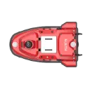
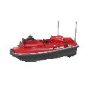
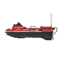
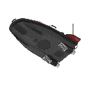
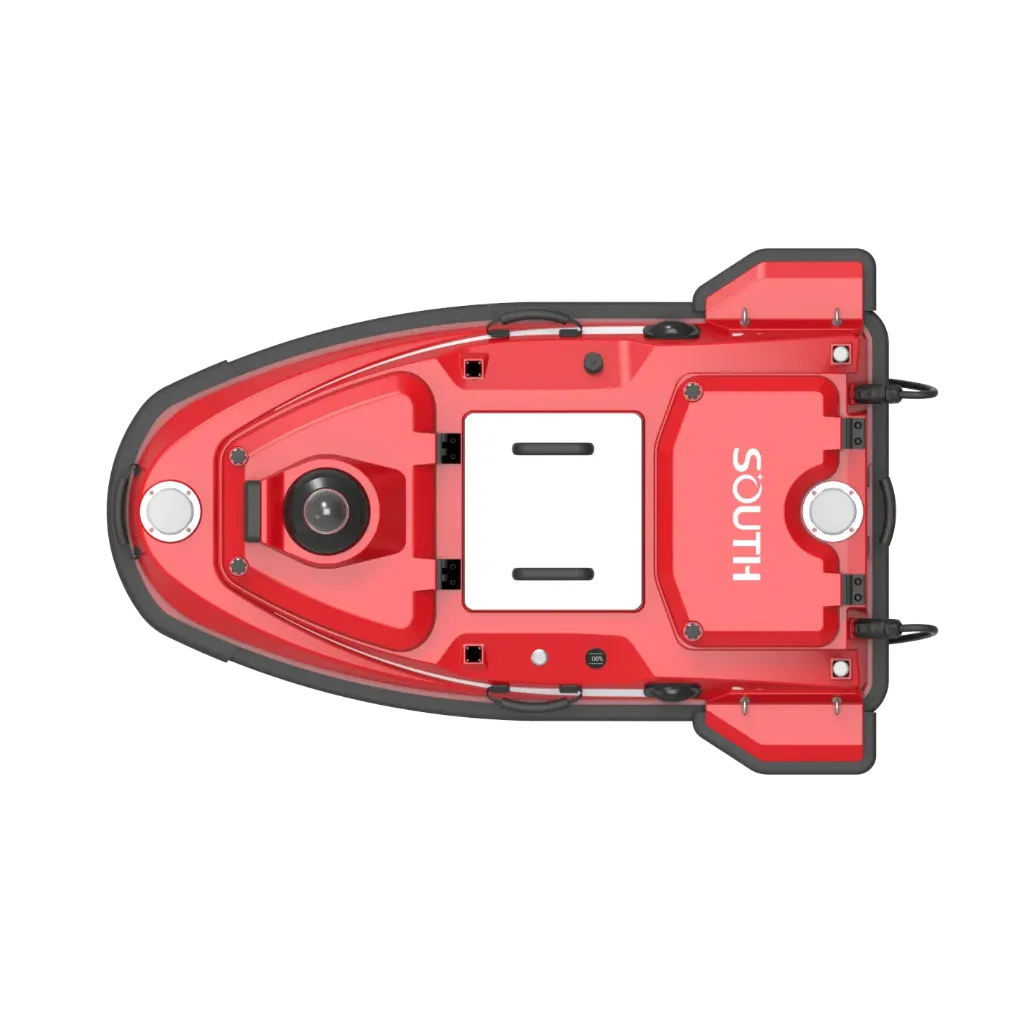
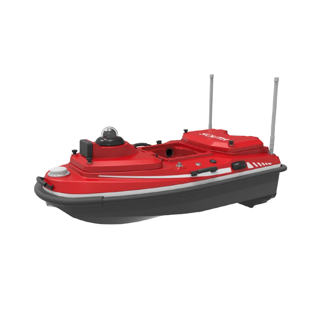
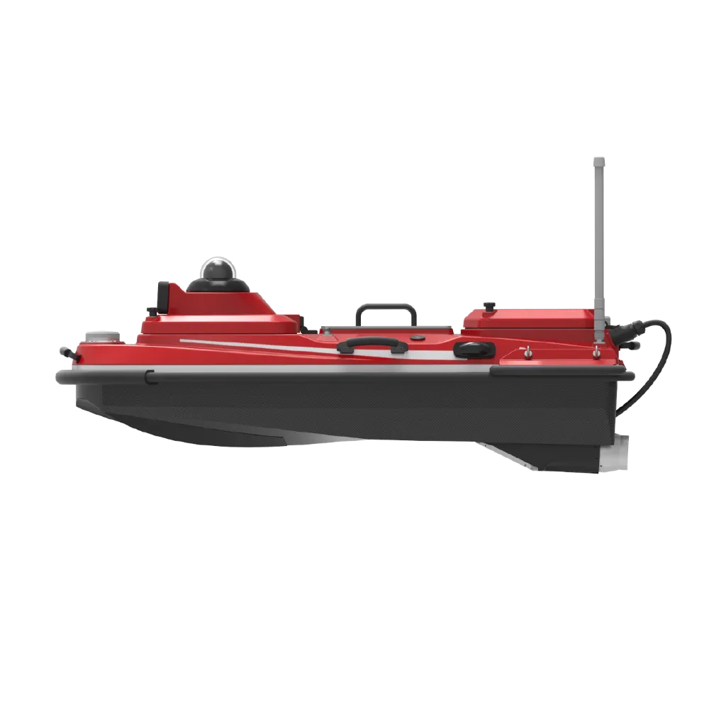
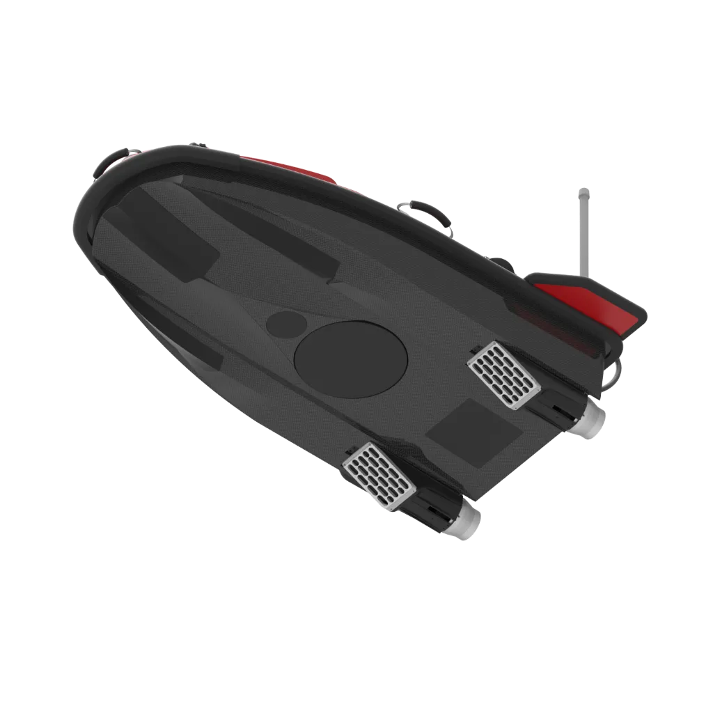
SU30S Multibeam Intelligent Survey USV: 1.2 m flagship USV fitted with T400S multibeam sounding. Whether for routine surveys or demanding sites, it helps deliver cleaner, more usable data.
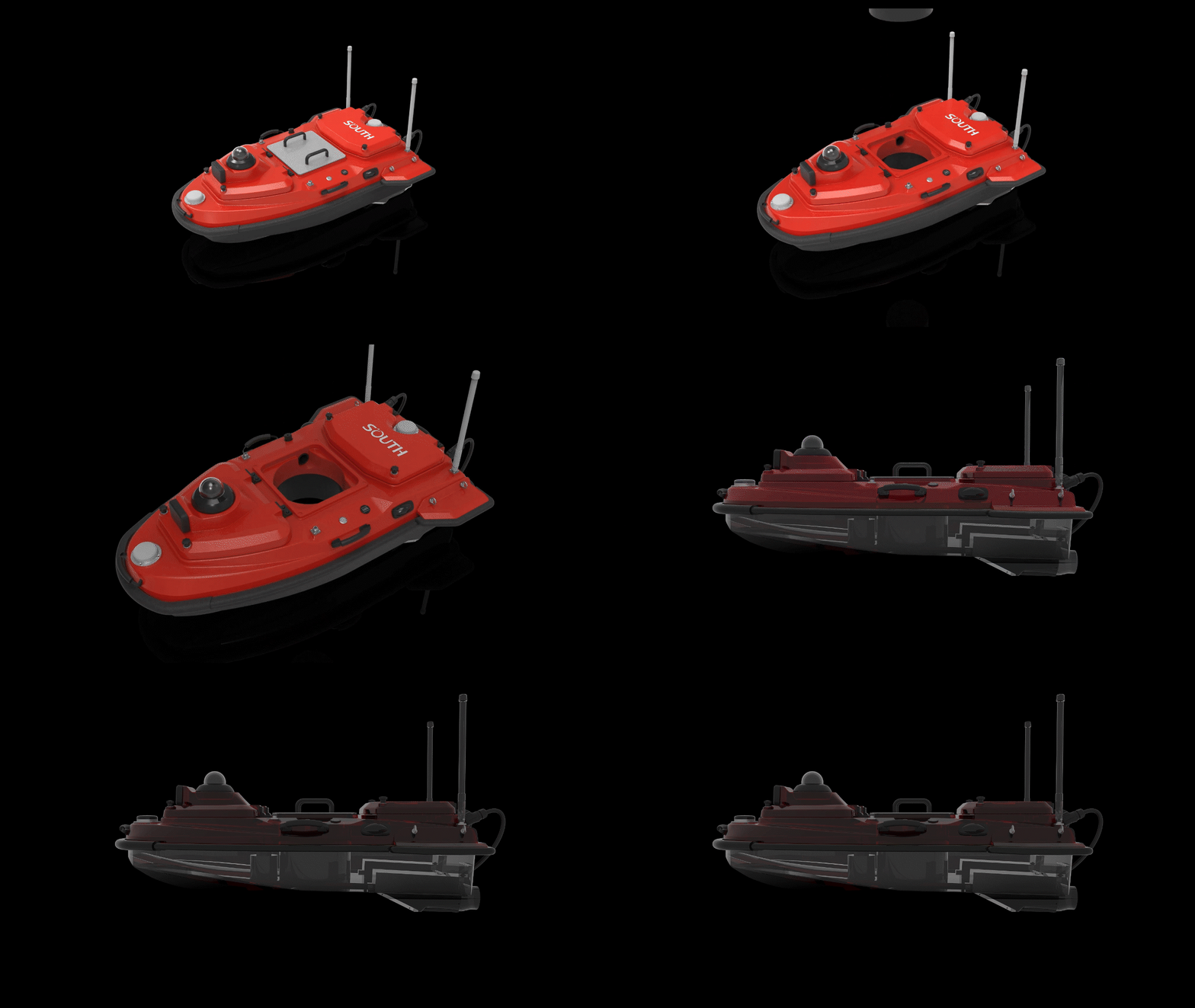
All-new hull design
Lighter and more impact-resistant — next-generation carbon-fiber composite hull for lower weight and higher crash tolerance.
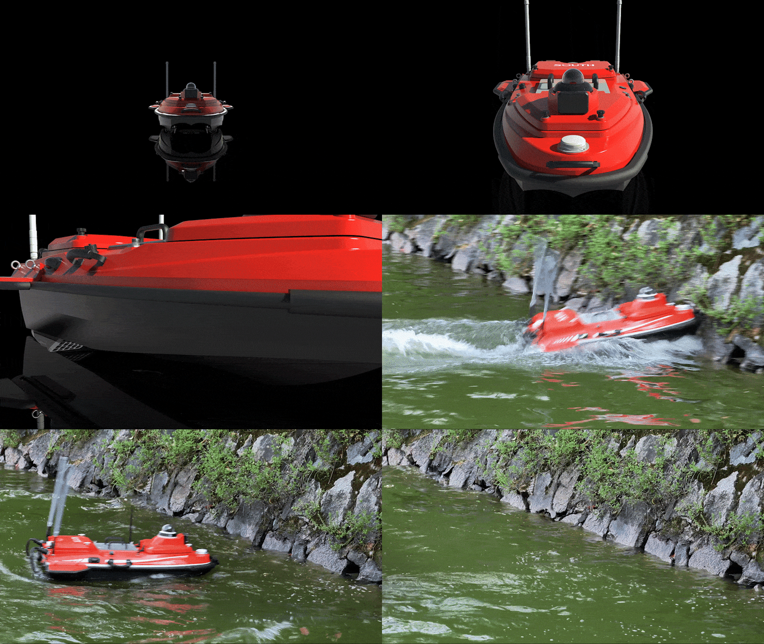

All-new hull design
Improved seakeeping — new flow-guiding design reduces disturbance; dual-skin hull with removable rub strips for durability.
Temperature sensing and smart self-check
key survey capability.
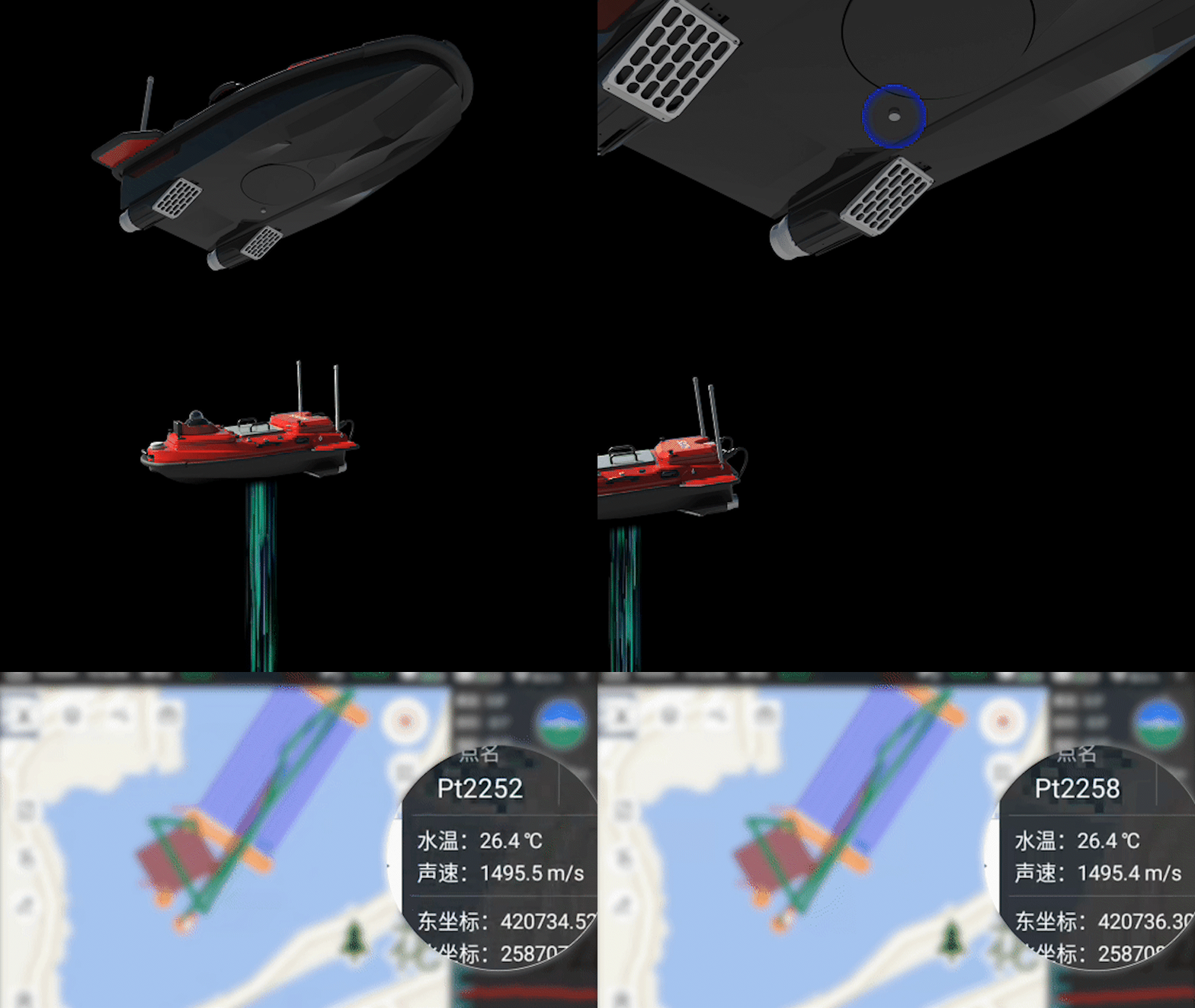
Higher power, greater thrust
Next-gen thrusters with ~10% more thrust; 1100 W per motor; max speed 7 m/s; operable in currents up to 3 m/s.
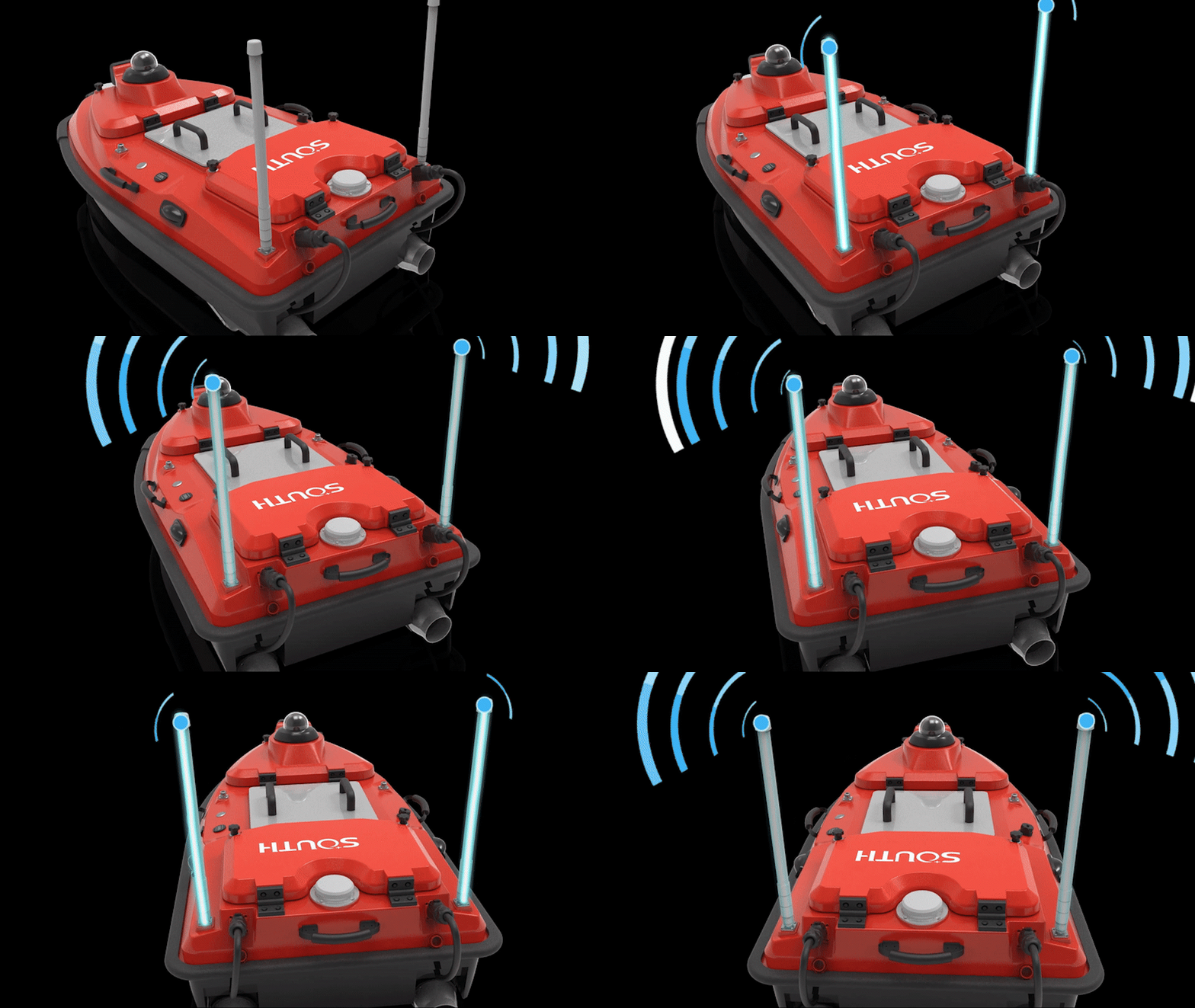
Stable links in complex environments
BeiDou high-precision GNSS plus a next-generation data link for higher bandwidth and signal strength—stable under bridges and in mountainous areas.

Millimeter-wave radar autonomous collision avoidance
Detects small forward obstacles at 0.2–40 m; elevation×azimuth 14°×112°; tracks up to 128 targets simultaneously for safer underway operations.
Multi-payload, multi-scenario, fully adaptable
SU30 / SE / 2.
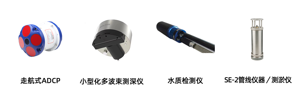

ADCP payload
The SU30 USV can carry a vessel-mounted ADCP for efficient discharge and current surveys.
Compact multibeam payload
Carries a compact multibeam for efficient bathymetric mapping.

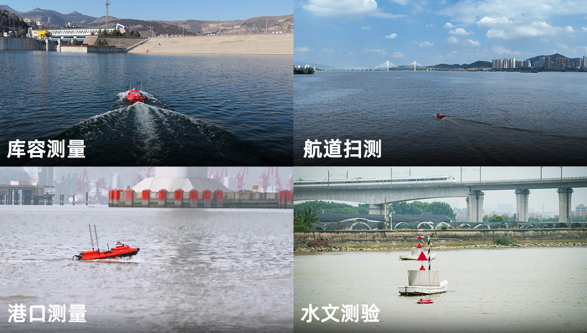
Applications
Technical specifications
Item | Value |
Hull | |
Hull dimensions | 1180 × 630 × 430 mm (L × W × H) |
Hull material | Nano carbon fiber and Kevlar high-strength composite |
Hull form | M-type flow-guiding design |
Lightship weight | 10.8kg |
Payload capacity | 42kg |
Ingress protection | IP67 |
Moon-pool aperture | 24cm |
Sea-state rating | Beaufort 3 wind / sea state 2 |
Compatible payloads | Built-in echosounder; supports mainstream ADCP, water-quality/sampling gear, SBP, sidescan and multibeam |
Safety and protection | • Smart self-check • Removable rub strips; dual-skin anti-sinking hull • On-hull digital battery display with temperature and humidity sensing • Shallow-water alert with autonomous reverse exit • 360° HD infrared night-vision camera • Dual status LEDs for hull health and GNSS lock • Embedded ducted thrusters with weed guards • mmWave radar collision avoidance (0.2–40 m; 14°×112°; up to 128 targets) • Removable side wings for improved seakeeping |
Propulsion | |
Drive type | Electric |
Battery | 33 V / 50 Ah high-performance NMC Li-ion; portable, smart BMS, hot-swappable, with SoC display |
Motor type | High-efficiency long-life ducted brushless motors; IPX3 waterproofing |
Steering | Differential thrust (no rudder servo); reverse capable |
Mounting | Modular plug-in design; easy swap; weed-resistant |
Motor power | 1100 W per motor |
Max speed | 7 m/s (operable in currents up to 3 m/s) |
Endurance | 6 h @ 2 m/s (single battery; optional 12 h+ endurance pack) |
Communications | |
SIM | eSIM and Nano-SIM supported |
Communications | All-network 4G, wireless bridge, 2.4 GHz radio |
Comms range | Smart RC ~2.5 km; 4G effectively unlimited (coverage permitting) |
Main controller | Integrated all-in-one main controller |
Data storage | Multi-channel storage on RC, hull and server |
Controller waterproofing | IP67 |
Remote controller | 13.2″ industrial sunlight-readable HD display; configurable storage; hull control, acquisition, live video and mode switching |
Software | |
Control & acquisition software | 1) Mission planning, autonomous navigation, hull control, progress stats and coordinate-system input 2) Real-time multi-view of track, bathymetry, waveforms and video 3) Multi-channel storage: local, hull and server 4) Low-battery and link-loss auto-return with configurable home points 5) Auto-hover; line-keeping adapts to current changes 6) Survey modes configurable by payload 7) Real-time sound-velocity measurement with automatic compensation |
Post-processing software | 1) Replay; waveform/depth overlay; depth, tide, latency and attitude corrections; coordinate transforms 2) Re-sample acquired data by time or distance 3) Custom export formats; depth color mapping 4) Undo / rollback 5) PPK post-processing |
Charting / deliverables software | key survey capability. |
Updates | Online push for software and main-controller firmware |
Positioning | |
Antenna | Built-in dual GNSS antennas for high-precision position and heading; CORS and radio modes |
Radio protocol | SOUTH,TRIMTALK450S,TRIMMARKI, TRANSEOT,HI-TARGET,CHC,SATEL |
Constellations | BDS-3 global; BDS-2, GPS, GLONASS, Galileo, IRNSS, QZSS, SBAS; L-Band; BeiDou PPP option (BeiDou-only variant available) |
Channels | 1598 |
Cold start | <30s |
Reacquisition | <1s |
RTK initialization | <5s |
Velocity accuracy | 0.02m/s |
Standalone accuracy | H ≤ 1.5m, V ≤ 2.5m |
BeiDou PPP accuracy (optional) | Better than 10 cm |
RTK accuracy | H: ±(8 + 1×10⁻⁶ × D) mm, D = baseline length (km) V: ±(15 + 1×10⁻⁶ × D) mm, D = baseline length (km) |
Heading accuracy | 0.15° @ 1 m baseline |
INS performance | 1) Integrated navigation; 1PPS supported 2) Attitude accuracy 0.25° 3) 6°/h (≈1 m drift in 20 s) 4) IMU update rate up to 200 Hz |
Bathymetry | |
Standard echosounder | 200 kHz operating frequency; 5° beamwidth |
* For reference only. Specifications and imagery may change without notice as products are improved.