01 / Hydrology
Hydrology
Routine monitoring on rivers, lakes, reservoirs, and hydraulic sections.
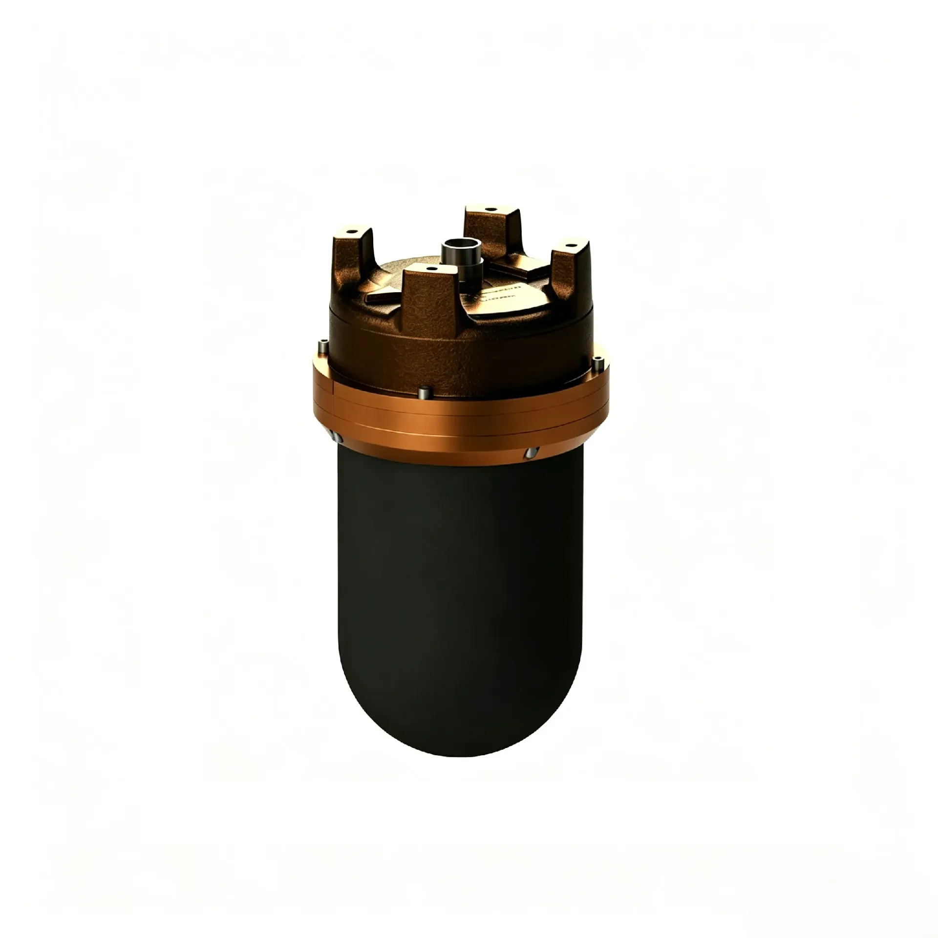
SMS50 builds live 3D sonar models of underwater structures for scour, safety, and security monitoring. It focuses on 3D imaging monitor, Change detection, Live monitor link, ready to connect with sounding, navigation, or monitoring workflows. Typical uses include Hydrology, Harbor and marine, Engineering.
SMS50 builds live 3D sonar models of underwater structures for scour, safety, and security monitoring.
Build 3D point clouds/meshes of underwater structures to spot scour, collapse, and debris.
Compare epochs to quantify scour depth and shape-change trends.
Shore or vessel displays show live 3D scenes with anomaly alerts.
Long-term duty or periodic patrols linked to engineering monitor platforms.
SMS50 follows clear collect–process–output steps matched to this product type.
Build an initial 3D baseline of the target structure.
Update the 3D cloud on schedule.
Diff against baseline for scour/displacement.
Alert on exceedance and archive reports.
Key figures and field capabilities for SMS50, for quick selection.
From routine monitoring to complex engineering sites, choose deployment and data links around the task.
Routine monitoring on rivers, lakes, reservoirs, and hydraulic sections.
Support harbor, channel, marine survey, and vessel engineering work.
Support dredging, placement, pipeline, mapping, and construction checks.
Connect stable outputs to shore stations or remote data platforms.
Key parameters for SMS50 (from the product page and sales description).
| Model | SMS50 |
| Product | Point cloud / mesh |
| Duty | Watch / patrol survey |
| Key points | 3D imaging and change monitoring for piers, quays, and other subsea structures. Key figures: 3D sonar monitoring, structural change, live point cloud, security/engineering. Typical use: Hydrology; Harbor and marine; Engineering; Long-term monitoring. |
| Applications | Hydrology; Harbor and marine; Engineering; Long-term monitoring |