01 / Hydrology
Hydrology
Routine monitoring on rivers, lakes, reservoirs, and hydraulic sections.
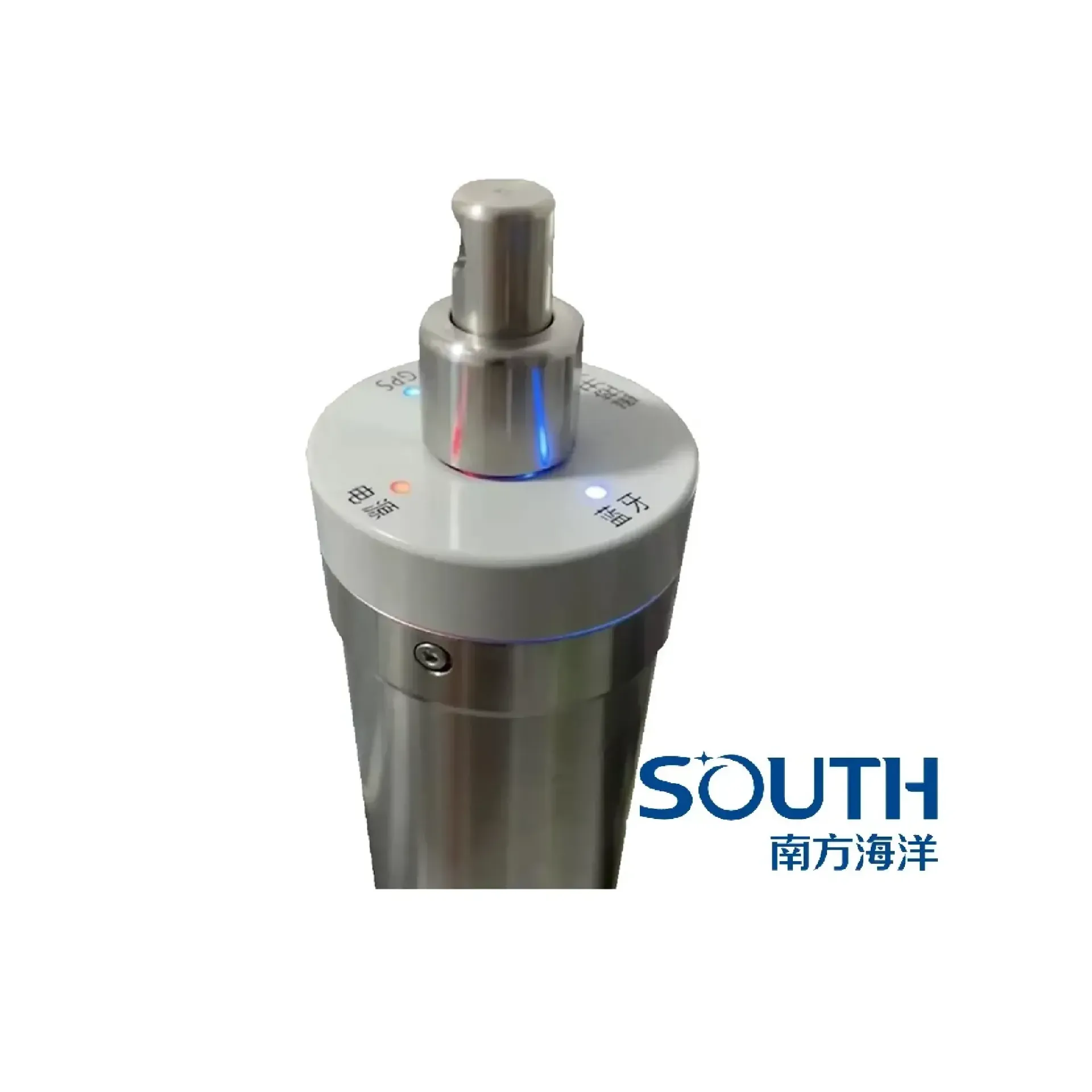
SVP60 uses time-of-flight profiling with onboard GNSS and a magnetic switch to correct single-beam, multibeam, and sonar measurements. It focuses on Time-of-flight, Profile with depth, GNSS and Bluetooth, ready to connect with sounding, navigation, or monitoring workflows. Typical uses include Hydrology, Harbor and marine, Engineering.
SVP60 uses time-of-flight profiling with onboard GNSS and a magnetic switch to correct single-beam, multibeam, and sonar measurements.
Direct time-of-flight sound-speed measurement: 1375–1900 m/s, ±0.02 m/s, 0.001 m/s resolution.
0–200 m depth range at 0.01 m resolution; velocity, depth, and temperature logged together.
Multi-constellation GNSS tags each cast; magnetic switch and Bluetooth simplify shipboard transfer.
Hard-anodized aluminum body with graphic display for repeated hydrographic casts.
SVP60 follows clear collect–process–output steps matched to this product type.
Magnetic switch starts recording while the probe is lowered.
Acoustic pulse travel time yields sound speed at depth.
Depth and temperature are logged with each sample.
Bluetooth export feeds sound-speed correction to sounders and sonars.
Key figures and field capabilities for SVP60, for quick selection.
From routine monitoring to complex engineering sites, choose deployment and data links around the task.
Routine monitoring on rivers, lakes, reservoirs, and hydraulic sections.
Support harbor, channel, marine survey, and vessel engineering work.
Support dredging, placement, pipeline, mapping, and construction checks.
Connect stable outputs to shore stations or remote data platforms.
Key parameters for SVP60 (from the product page and sales description).
| Model | SVP60 |
| Brand | 南方海洋 |
| Product type | Sound velocity sensor |
| Velocity | 1375–1900 m/s (±0.02 m/s) |
| Depth | 0–200 m (0.01 m resolution) |
| Position | GPS + GLONASS + BeiDou |
| Transfer | Bluetooth · magnetic switch |
| Key points | Sound speed 1375–1900 m/s, accuracy ±0.02 m/s, profiles to 200 m. Key figures: 1375–1900 m/s, ±0.02 m/s, 0–200 m, multi-GNSS, Bluetooth. Typical use: Hydrology; Harbor and marine; Engineering; Long-term monitoring. |
| Applications | Hydrology; Harbor and marine; Engineering; Long-term monitoring |