01 / Hydrology
Hydrology
Routine monitoring on rivers, lakes, reservoirs, and hydraulic sections.
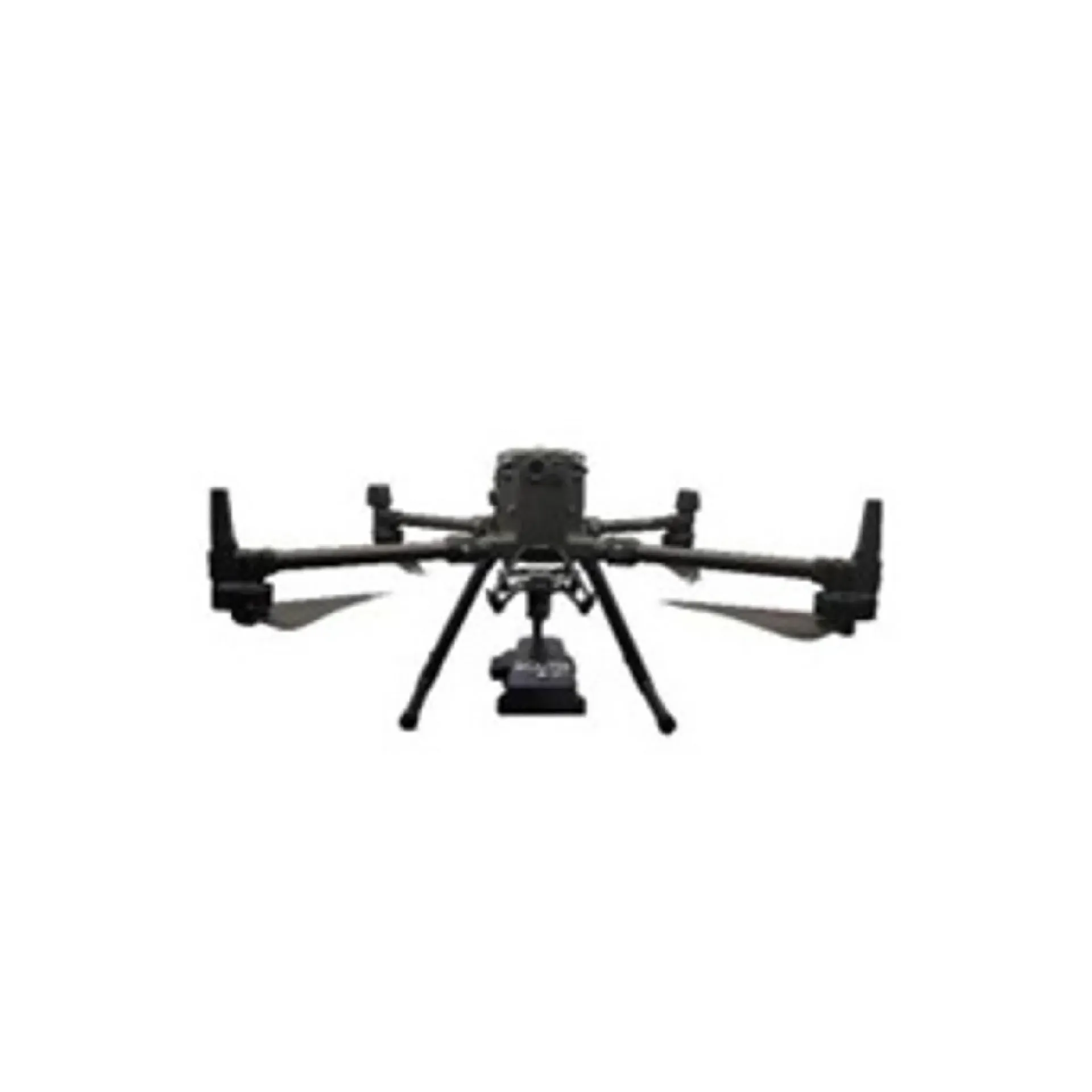
SF900 combines a multirotor platform, radar velocity/stage sensing, ground station and discharge software with ~15 km video link for day/night emergency discharge work without approaching the water. It emphasizes key survey capability, key survey capability, key survey capability, and integrates readily with sounding, navigation or monitoring workflows. Typical uses include hydrometric surveys, port and coastal surveys, construction surveys.
SF900 integrates multirotor, radar velocity/stage, GCS, and ~15 km video for day/night emergency discharge gauging.
Velocity 0.03–20 m/s at ±0.01 / ±1%FS; stage module ±2 mm, 24 GHz FMCW.
One-key takeoff/RTH, manual or auto gauging from the remote without a field PC.
~15 km HD video returns scene, imagery, and aircraft data for crew safety.
~59 min flight / ~53 min hover class (no wind), route planning and basemap switch.
SF900 follows clear collect–process–output steps matched to this product type.
Pick points/lines on the map; set route and gauging parameters.
One-key takeoff to the section.
Radar samples velocity and stage with live software display.
One-key RTH and archive the results.
Key figures and field capabilities for SF900, for quick selection.
From routine monitoring to complex engineering sites, choose deployment and data links around the task.
Routine monitoring on rivers, lakes, reservoirs, and hydraulic sections.
Support harbor, channel, marine survey, and vessel engineering work.
Support dredging, placement, pipeline, mapping, and construction checks.
Connect stable outputs to shore stations or remote data platforms.
Key parameters for SF900 (from the product page and sales description).
| Model | SF900 |
| Speed | 0.03–20 m/s |
| Stage | ±2 mm |
| Link | ~15 km |
| Air | ~59 min |
| Key points | Velocity 0.03–20 m/s, water level ±2 mm, video link about 15 km. Key figures: 0.03–20 m/s, stage ±2 mm, 15 km video, one-key takeoff gauging. Typical use: Hydrology; Harbor and marine; Engineering; Long-term monitoring. |
| Applications | Hydrology; Harbor and marine; Engineering; Long-term monitoring |