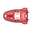
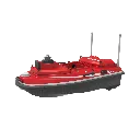
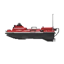
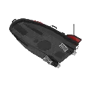
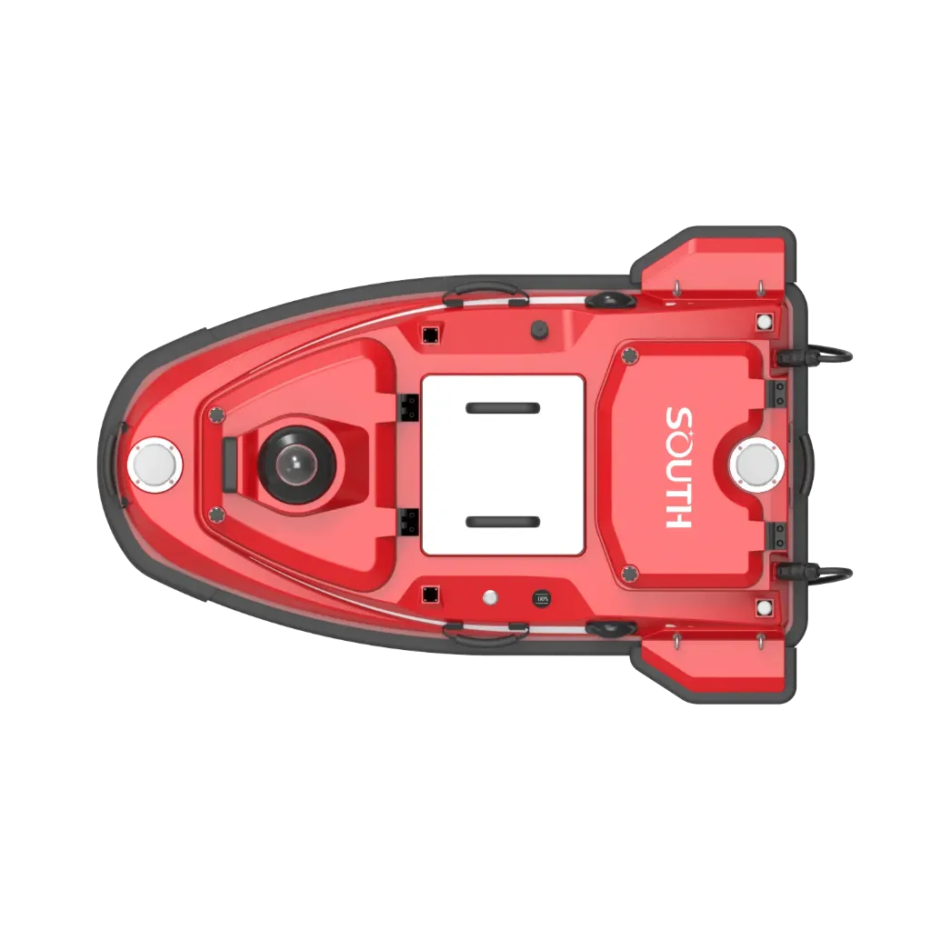
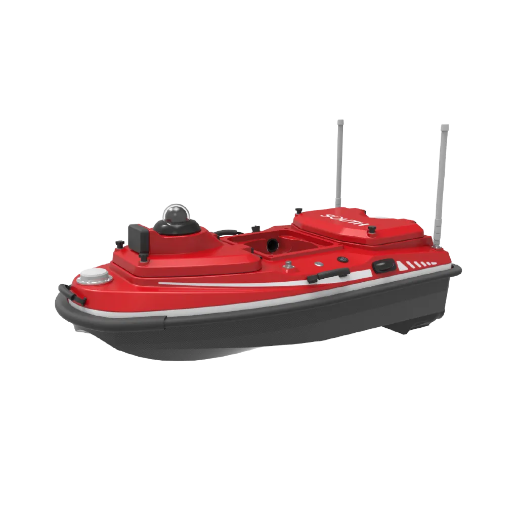
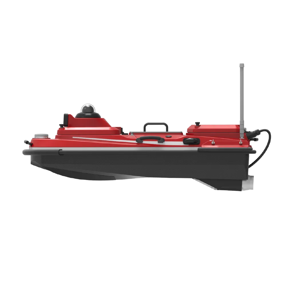
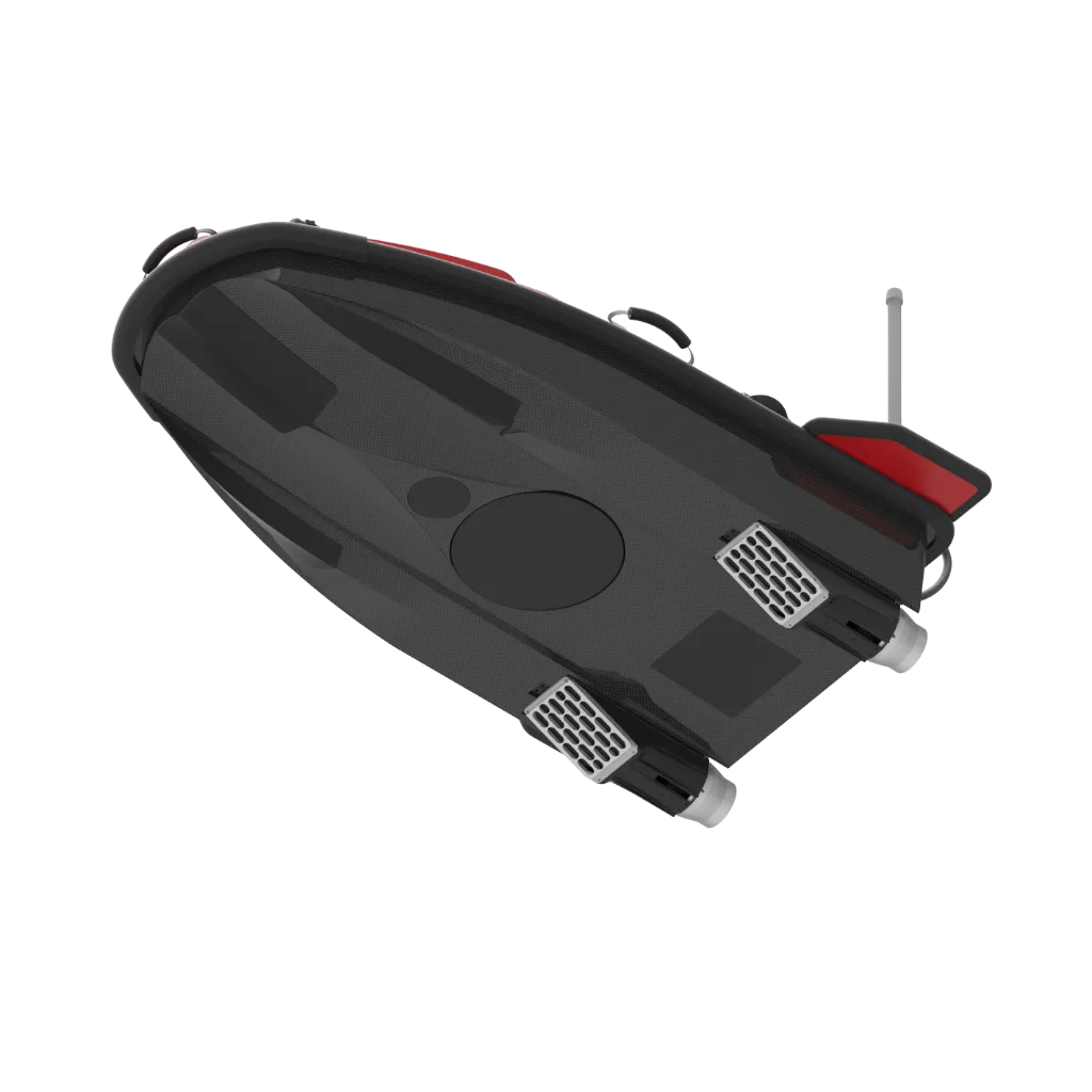
SU30P Professional Multi-Beam Intelligent USV: 1.2 m flagship USV fitted with T400P multibeam sounding. Whether for routine surveys or demanding sites, it helps deliver cleaner, more usable data.
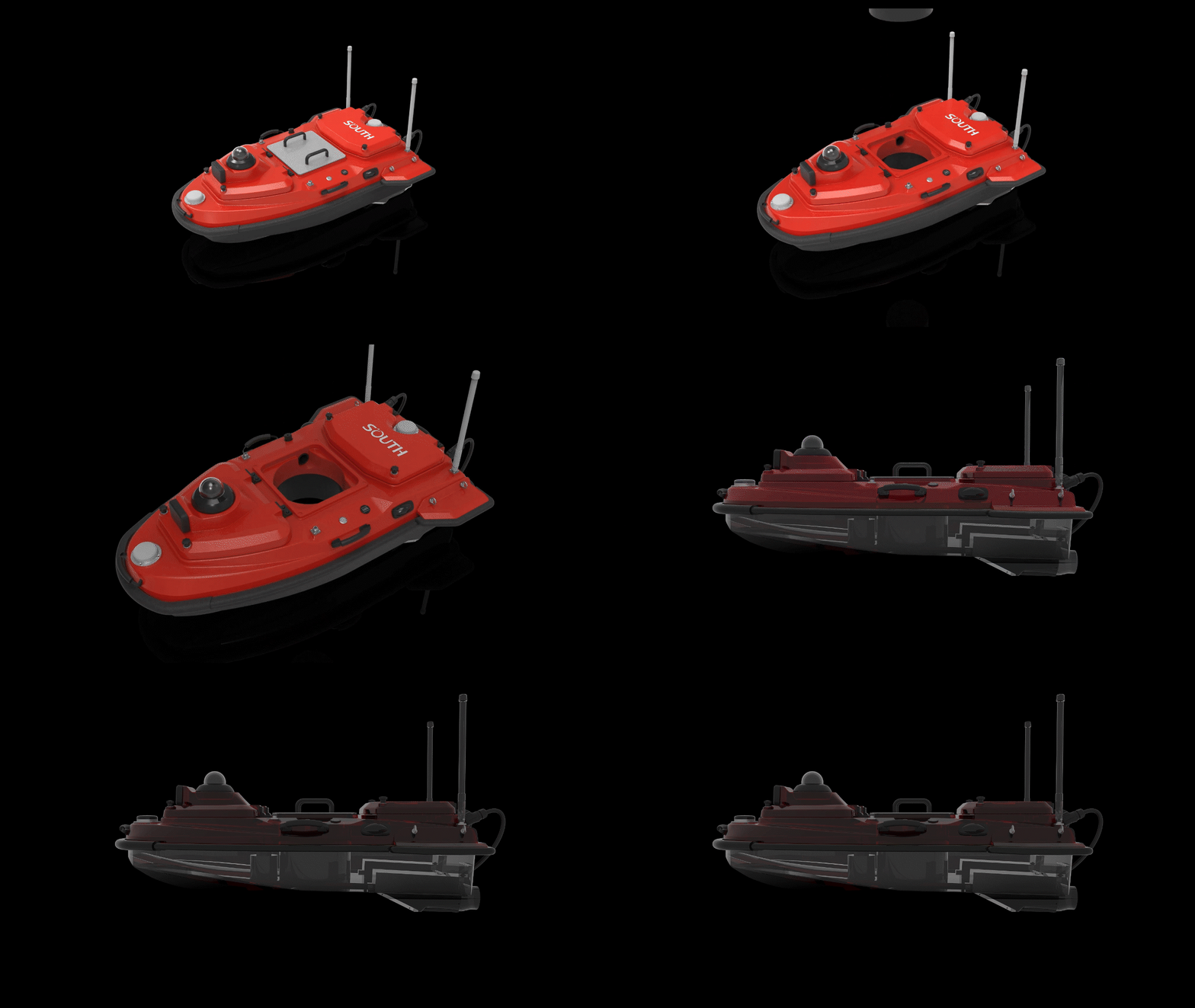
Brand new hull design
Lighter and more impact-resistant—The hull uses a new generation of carbon fiber composite materials, making it lighter and further enhancing its impact resistance.
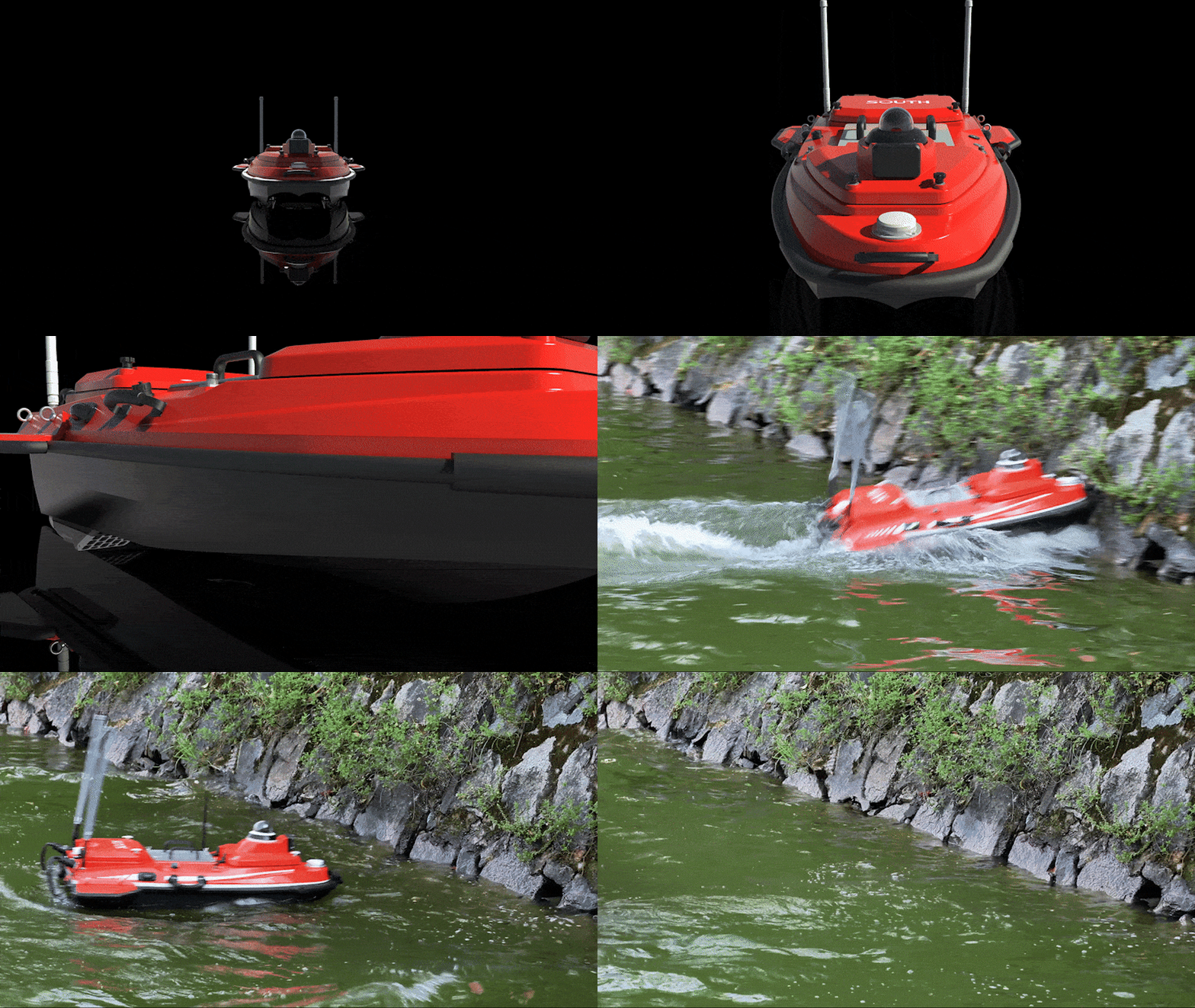

Brand new hull design
Improved wind and wave resistance—Combined with a new flow guide design, it is resistant to interference; the new double-layer hull structure with detachable anti-collision strips enhances durability.
Temperature sensing, intelligent self-check
Equipped with a temperature and humidity sensing system for intelligent health monitoring of the hull, ensuring safe use. Temperature data is transmitted back to the software in real-time, automatically analyzed and adjusted for sound speed parameters, assisting in more accurate measurements.
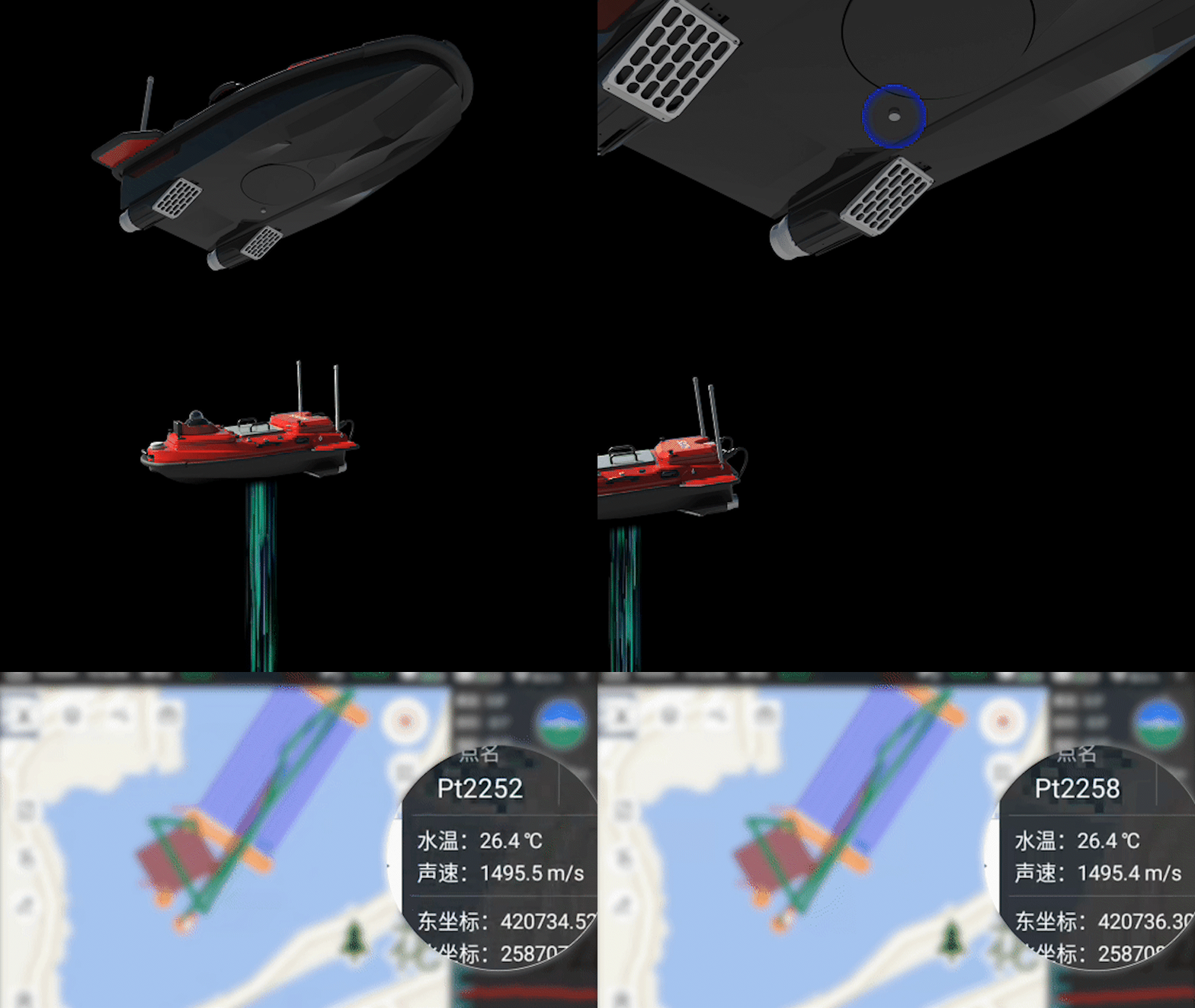
Higher power, greater thrust
The new generation of propellers increases thrust by 10%, with a single motor of 1100w, a maximum speed of 7m/s, and can withstand a flow rate of 3m/s.
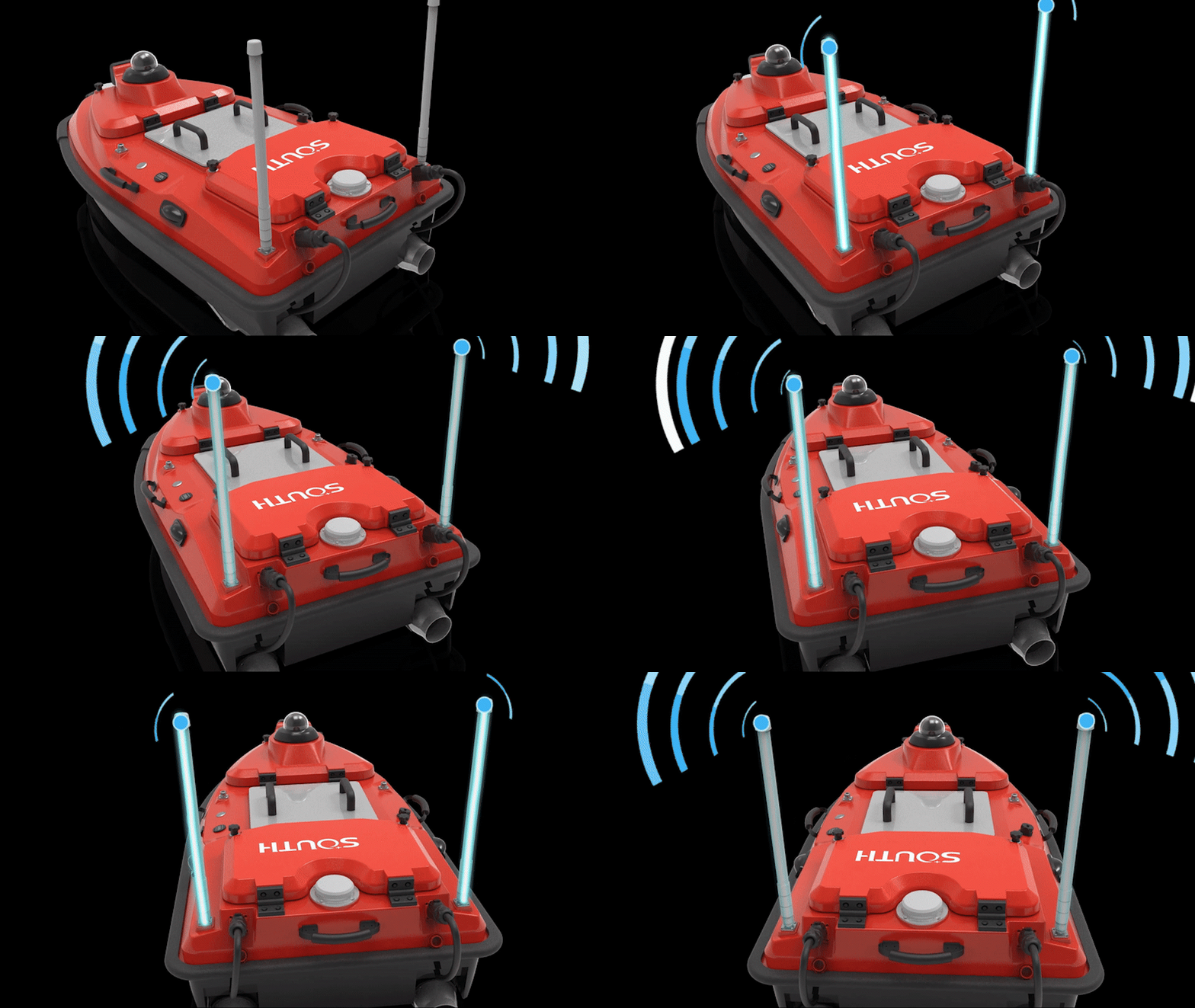
Complex environments, stable signals
Supports the Beidou high-precision positioning system, using a new generation of data links to comprehensively enhance communication bandwidth and signal strength, allowing for stable transmission even in complex environments such as bridge piers or deep mountains.

Millimeter-wave radar autonomous obstacle avoidance
Can automatically detect small obstacles ahead, with an obstacle avoidance distance of 0.2 to 40m, pitch and azimuth of 14° to 112°, and can simultaneously support the detection and tracking of up to 128 targets, ensuring safe navigation operations.
Multiple mounts, multiple scenarios, fully compatible
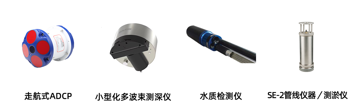
Expanded capacity moon pool—The SU30 intelligent unmanned vessel is standard equipped with a high-precision depth gauge and can carry miniaturized multi-beam depth gauges, water quality testers, SE-2 pipeline instruments/sediment measuring instruments, or mainstream measuring instruments on the market.
Equipped with ADCP
The SU30 intelligent unmanned vessel can be equipped with a towed ADCP for efficient flow data acquisition.
Equipped with a small multi-beam
Equipped with a small multi-beam, efficiently acquiring underwater terrain data.
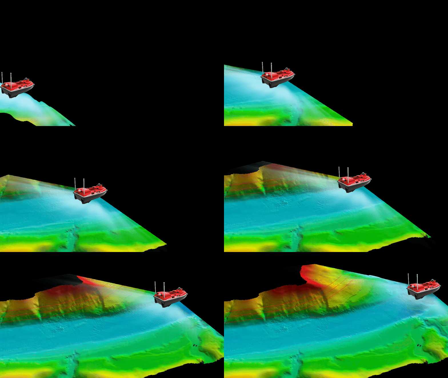
Application scenarios
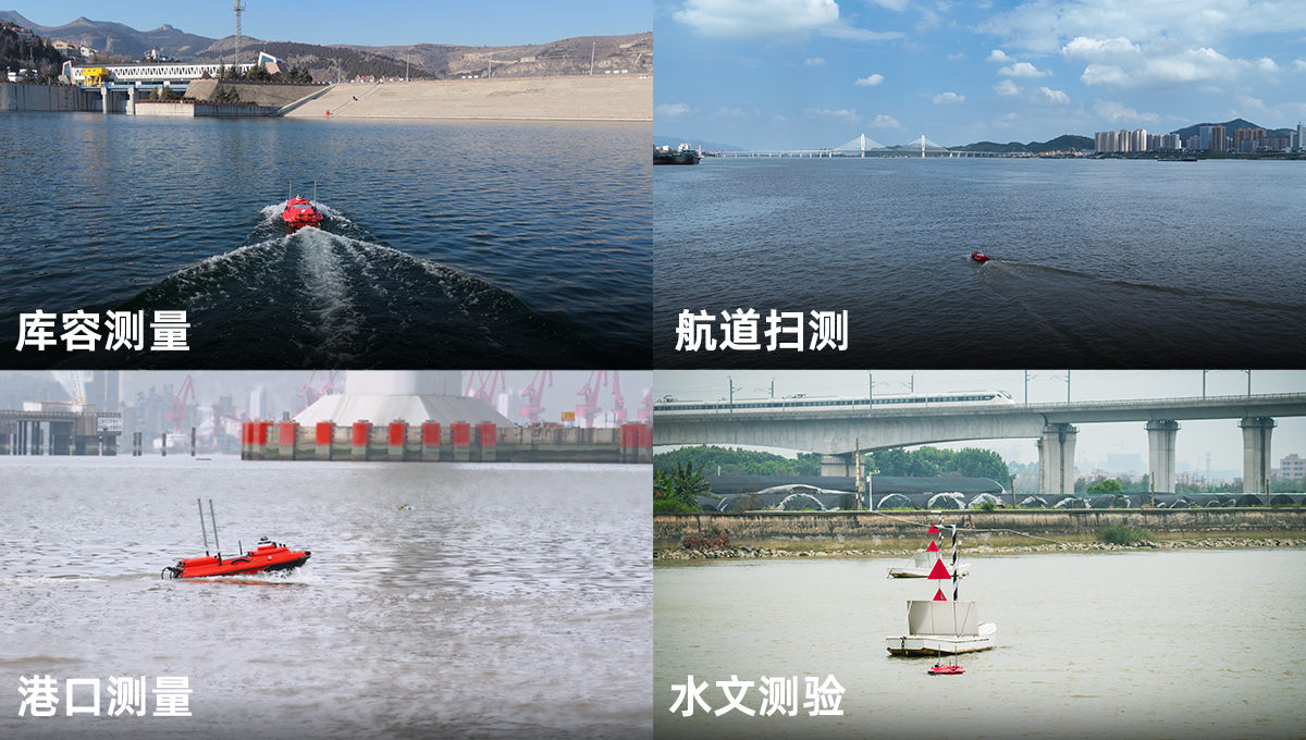
Technical specifications
Index | Parameter |
Hull | |
Hull dimensions | 1180mm*630mm*430mm (L*W*H) |
Hull material | Nano carbon fiber, Kevlar high-strength composite material |
Hull shape | M-shaped flow guide design |
Hull weight | 10.8kg |
Hull load capacity | 42kg |
Waterproof and dustproof | IP67 |
Moon pool aperture | 24cm |
Wind and wave resistance level | Level 3 wind, level 2 waves |
Equipment that can be mounted | Built-in depth sounder, compatible with mainstream domestic and international ADCP/water quality monitoring, sampling equipment/shallow profiling/side-scan/multi-beam |
Safety protection design | l Intelligent self-check l Equipped with detachable anti-collision strips, double-hull design to prevent sinking l Digital battery display for the hull, supports temperature and humidity detection l Shallow water reminder and autonomous reverse navigation l 360° HD infrared night vision camera l Dual indicator lights display the hull's operating status and positioning signal status l Embedded ducted motor installation design with waterproof grass cover l Millimeter-wave radar for autonomous obstacle avoidance (obstacle avoidance distance 0.2–40m, pitch*azimuth 14°*112°, supports detection and tracking of up to 128 targets simultaneously) l Detachable side wings to enhance wind and wave resistance |
Power | |
Power mode | Electric drive |
Battery specifications | 33V/50Ah high-performance ternary lithium battery, portable design, intelligent management, pluggable replacement, with battery display |
Motor type | High-efficiency ducted long-life brushless motor, IP67 waterproof |
Steering method | Differential steering without a rudder, can reverse |
Installation method | Modular plug-in design, easy to replace, waterproof grass |
Motor power | Single motor 1100W |
Maximum speed | 7m/s (adaptable to maximum flow rate of 3m/s) |
Endurance time | 6h@2m/s (single battery, optional 12h+ extended endurance solution) |
Communication | |
SIM card | Supports eSIM and Nano cards |
Communication | 4G full network access, bridge, 2.4GHz radio |
Communication distance | Smart remote control 2.5 kilometers, 4G unlimited distance |
Main control design | Integrated main control design |
Data storage | Multi-channel storage, remote control, vessel side, and server can all store data |
Main control waterproof | IP67 |
Remote control | 13.2-inch industrial-grade sunlight-readable HD display, supports different storage spaces, can control the hull, collect data, view video, and switch working modes |
Software | |
Control and collection software | 1) Supports measurement task planning, autonomous navigation, hull operation control, task progress statistics, coordinate system input 2) Supports real-time viewing of hull navigation trajectory, depth data, waveforms, and video from multiple angles 3) Can achieve multi-channel data storage: local storage, vessel storage, server storage 4) Can set automatic return on low battery, automatic return on loss of signal, and set return points 5) Can automatically hover and adapt to flow rate changes based on measurement lines 6) Can set different measurement modes based on mounted equipment 7) Supports real-time measurement of sound speed with automatic adjustment |
Data post-processing software | 1) Supports data playback, waveform depth data overlay, depth data correction, tidal data correction, data delay correction, attitude correction, and coordinate parameter conversion 2) Can resample collected data based on time and distance 3) Customizable output format for result data, able to display different depths in different colors 4) Has undo and rollback functions 5) Supports PPK post-processing calculations |
Result data mapping software | Supports preparation of engineering construction drawings, measurement planning line mapping, depth measurement data display, depth map compilation, contour line drawing, underwater 3D terrain mapping, depth map frame preparation, channel profile drawing, and earthwork calculation functions |
Updates and upgrades | Supports online push of software and main control firmware |
Positioning | |
Antenna | The hull is equipped with a high-precision positioning and orientation GNSS dual antenna, supporting CORS and radio station modes |
Radio protocol | SOUTH, TRIMTALK450S, TRIMMARKI, TRANSEOT, HI-TARGET, CHC, SATEL |
Satellite system | Supports BDS-3 global signals, BDS-2, GPS, GLONASS, Galileo, IRNSS, QZSS, SBAS supports L-Band, supports BeiDou accuracy (optional single BeiDou version available) |
Number of channels | 1598 |
Cold start | <30s |
Reacquisition after loss of lock | <1s |
RTK initialization time | <5s |
Speed measurement accuracy | 0.02m/s |
Standard single point accuracy | H ≤ 1.5m, V ≤ 2.5m |
PPP BeiDou accuracy (optional) | Better than 10CM |
RTK accuracy | H: ±(8+10-6×D)mm, D is the baseline length (unit: km) V: ±(15+10-6×D)mm, D is the baseline length (unit: km) |
Orientation accuracy | 0.15°@1m baseline |
Inertial navigation accuracy | 1) Supports integrated navigation, supports 1PPS 2) Attitude accuracy 0.25° 3) 6°/h (20s accuracy degradation 1m) 4) IMU update rate up to 200Hz |
Depth measurement | |
Standard equipped depth sounder | Operating frequency 200kHz; beam angle 5° |
* This information is for reference only. To continuously improve product performance, any changes to the images and performance parameters in this color page will not be notified separately. Thank you for your understanding!