01 / Bathymetry
River and lake bathymetry
Carry depth and positioning payloads for river and lake surveys.
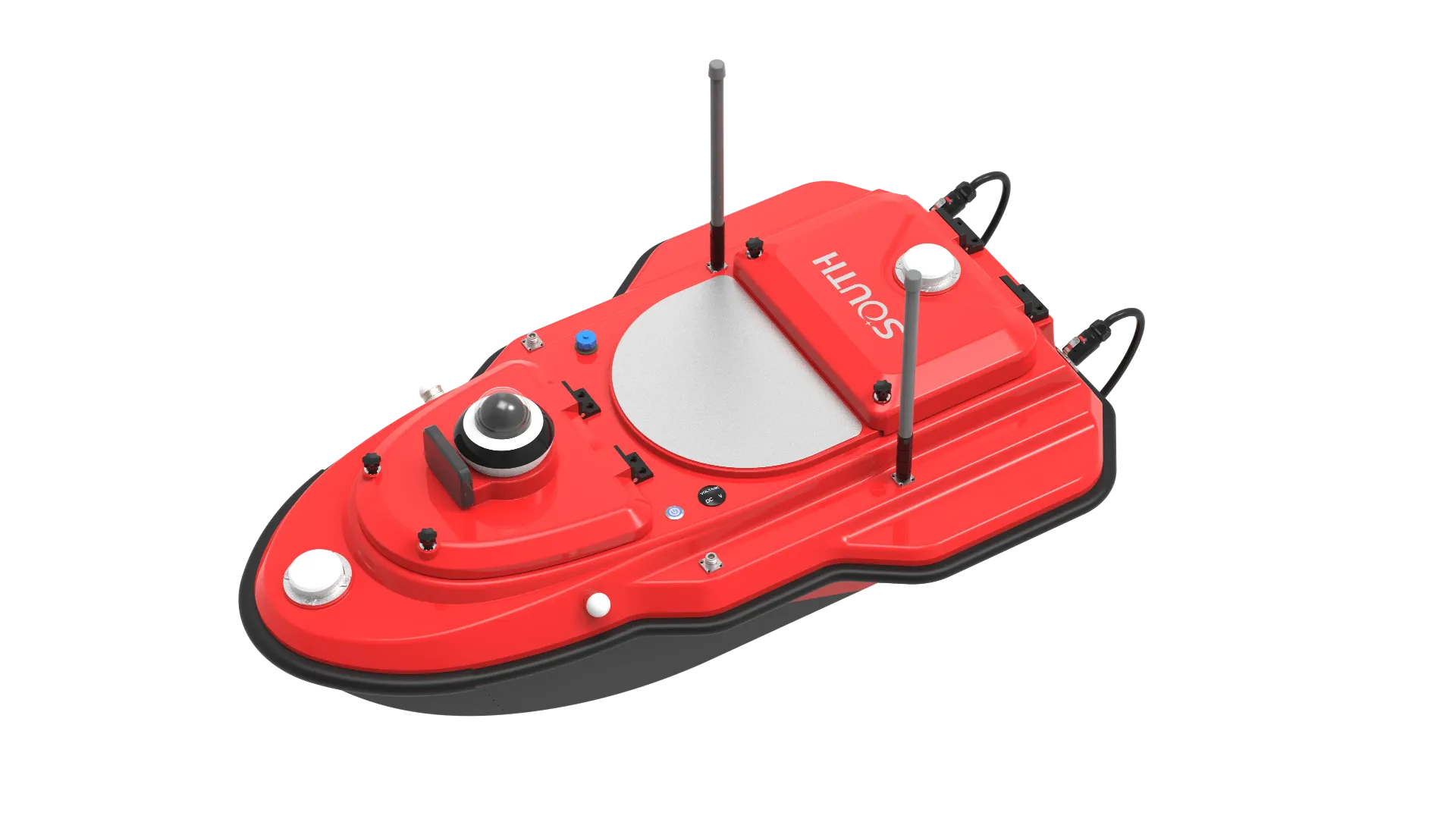
SU20-SI is a carbon-fiber trimaran with shallow draft and moon-pool design; it carries ADCP, single-beam, sidescan and more, with remote control and 4G operations. It emphasizes lightweight trimaran hull, moon-pool multi-payload and remote + 4G links. Typical uses: river/lake bathymetry, port channel surveys and dredging monitoring.
SU20-SI carbon trimaran with moon pool for ADCP, echosounder, and SSS; RC and 4G ops.
1.18 m trimaran, ~12.8 kg / 42 kg payload, ~9 cm draft for shallow water.
~23 cm moon pool (customizable) for ADCP, SBES, SSS, WQ, and samplers.
~2.5 km smart RC and unlimited-range 4G; multi-channel ship/RC storage.
mmWave obstacle avoid, anti-sink, low-batt/lost-link return, shallow reverse, bumper.
SU20-SI follows clear collect–process–output steps matched to this product type.
Set lines, CRS, and return points in control software.
Follow lines while payloads sample through the moon pool.
7.2″ RC view of position, soundings/ADCP, and video.
Replay, correct, and export project deliverables.
Key figures and field capabilities for SU20-SI, for quick selection.
From routine monitoring to complex engineering sites, choose deployment and data links around the task.
Carry depth and positioning payloads for river and lake surveys.
Remote surveys in narrow channels, basins, and shallow water.
Support before/after comparison, progress checks, and spot resurvey.
Deploy quickly in hard-to-access water while reducing personnel risk.
Key parameters for SU20- (from the product page and sales description).
| Model | SU20- |
| Hull | 12.8 kg · IP67 |
| Payload | 42 kg · moon pool |
| Link | 2.5 km / 4G |
| Nav | Dual-antenna GNSS |
| Key points | Hull 1.21×0.72×0.42 m, fitted with a long-range single-beam sounder. Key figures: 1.18×0.7×0.39 m, 12.8 kg, 42 kg payload, IP67, 2.5 km RC / 4G. Typical use: River and lake bathymetry; Harbor channels; Dredging monitoring; Emergency survey. |
| Applications | River and lake bathymetry; Harbor channels; Dredging monitoring; Emergency survey |