01 / Cross-section
River cross-sections
Auto river/lake cross-sections with straight-line autopilot—fewer manned boats.
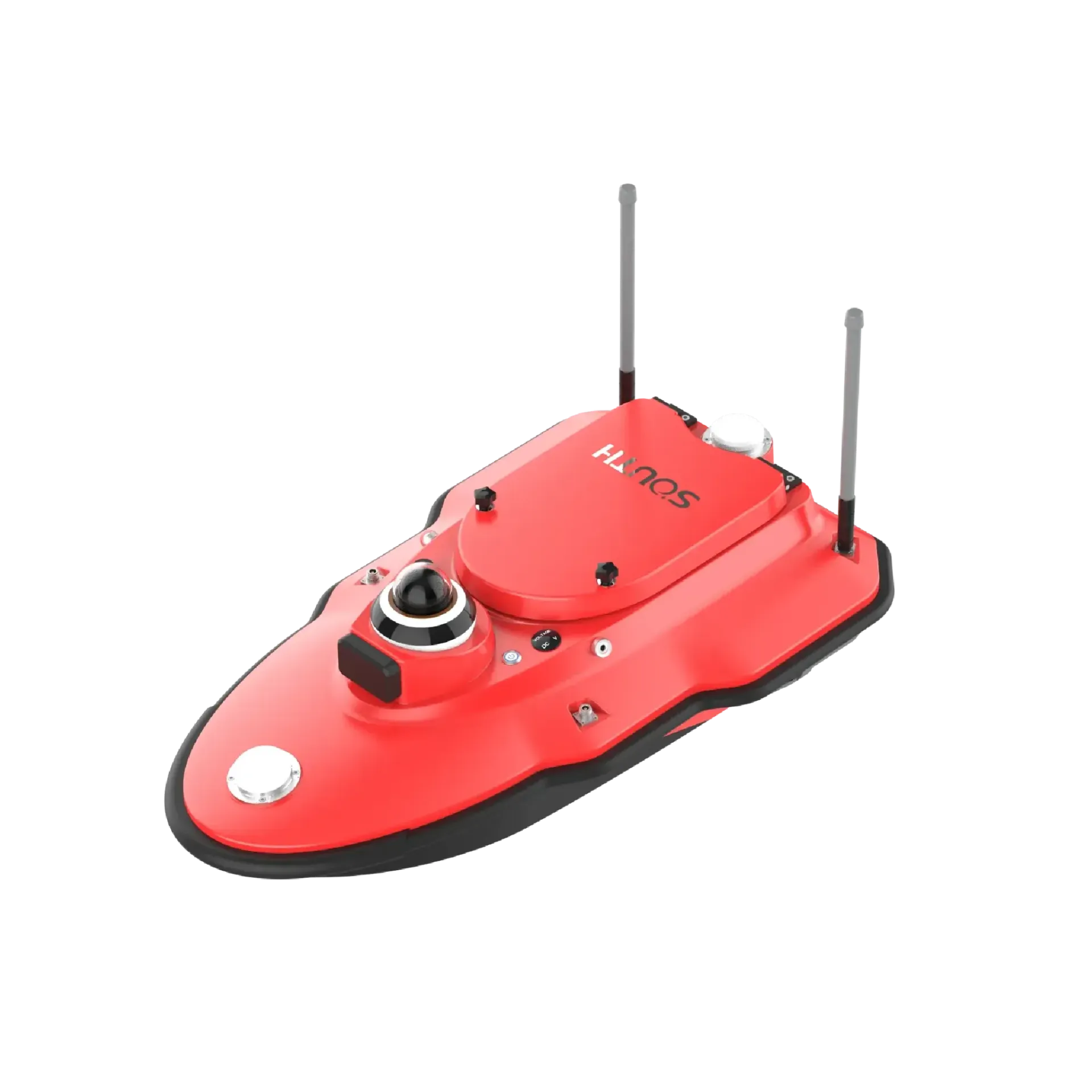
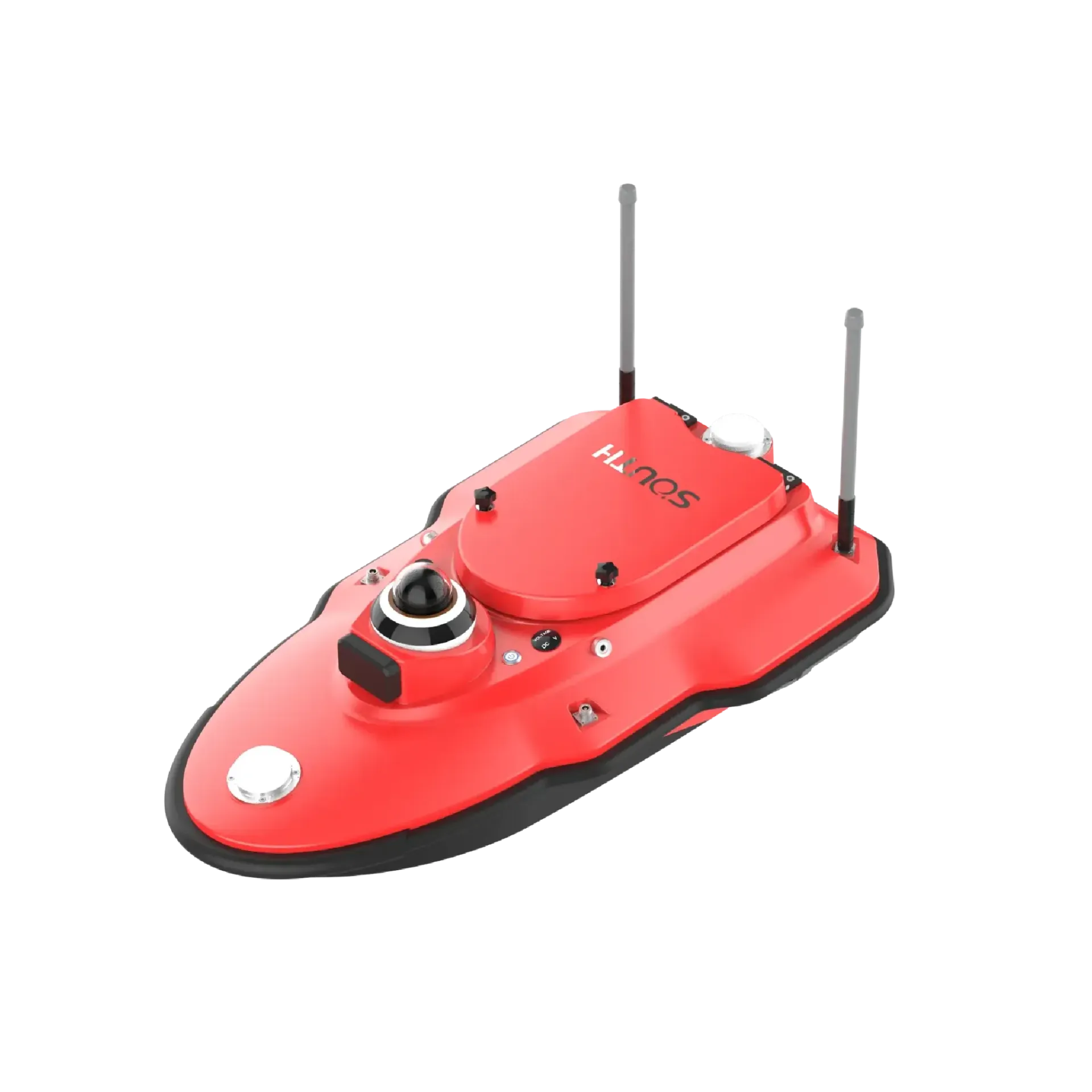
SU10 light trimaran USV with dual-antenna GNSS, sounding, smart RC and mmWave avoidance for rivers, lakes and reservoirs. It focuses on Light trimaran · ~6 kg, ~7 h endurance, Auto survey · auto return, ready to connect with sounding, navigation, or monitoring workflows. Typical uses include River cross-sections, Reservoir capacity, Harbor & inland survey.
SU10 light trimaran USV with dual-antenna GNSS, sounding, smart RC and mmWave avoidance for rivers, lakes and reservoirs.
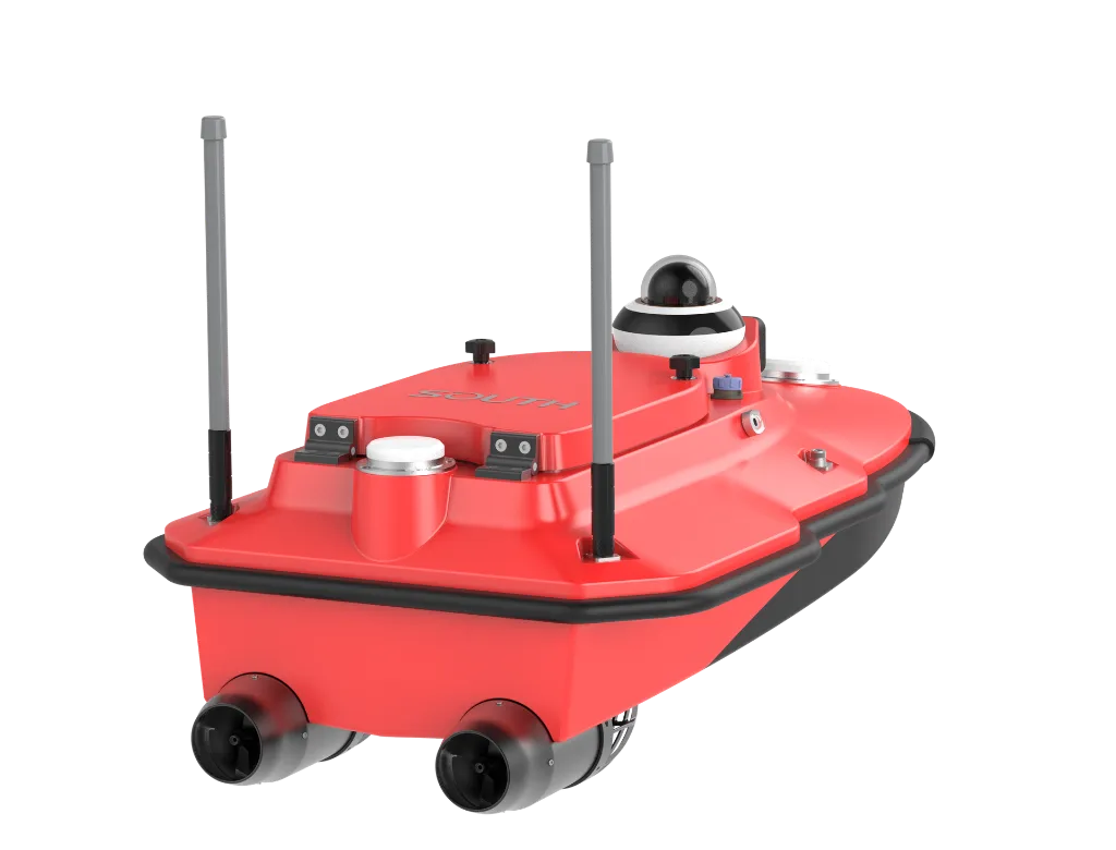
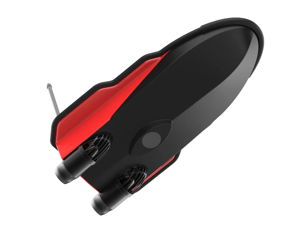
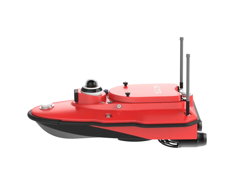
Hull ~0.95×0.55×0.37 m, nano carbon-fiber composite, IP67, draft ~9 cm.
~850 W-class thrusters, up to ~7 m/s; ~7 h at economic speed, optional extended endurance.
Mission plan, autopilot, hover; low-battery/lost-link return; RC ~2.5 km, 4G unlimited.
mmWave obstacle avoidance with 360° video; dual-antenna GNSS, BeiDou PPP optional.
SU10 workflow: plan ashore → sail & sense → store on boat/RC → post-process maps—cut manned-boat cost.
Import CRS, plan sections/lines, set return points and safety rules in the control software.
Electric differential steering along planned tracks; mmWave avoidance and shallow-water alerts.
Integrated single-beam and dual-antenna GNSS log depth, track, video and hull status.
Post-processing applies depth/motion/latency corrections and color-by-depth exports.
Built for one-person river/lake/reservoir work—light, fast, steady; survey and return.
Cross-sections, reservoir capacity, topography and emergency mapping—SU10 enables one-person water work.
Auto river/lake cross-sections with straight-line autopilot—fewer manned boats.
Reservoir capacity and topography—easy launch, solid endurance.
Harbor/inland shallow surveys with shallow alerts and auto reverse escape.
Rapid emergency deploy—one-person carry, smart RC and go.
Key parameters for SU10 (from the product page and sales description).
| Model | SU10 |
| Brand | 南方海洋 |
| Product type | Unmanned survey vessel |
| Hull | 0.95 m · 6 kg |
| Endurance | ~7 h · 7 m/s |
| Sounding | 0.15–100 m |
| Comms | 2.5 km · 4G |
| Key points | 0.95 m single-beam unmanned boat, 0.3–100 m standard, 300 m optional. Key figures: light trimaran, ~7 h endurance, mmWave avoidance, auto survey and return. Typical use: River cross-sections; Reservoir capacity; Harbor & inland survey; Emergency rapid mapping. |
| Applications | River cross-sections; Reservoir capacity; Harbor & inland survey; Emergency rapid mapping |