01 / Water Level
Water-level monitoring / flood warning
Mounted on riverside or reservoir poles with solar power and radio—streams level changes for flood warning, flood-season ops, and water-info systems.
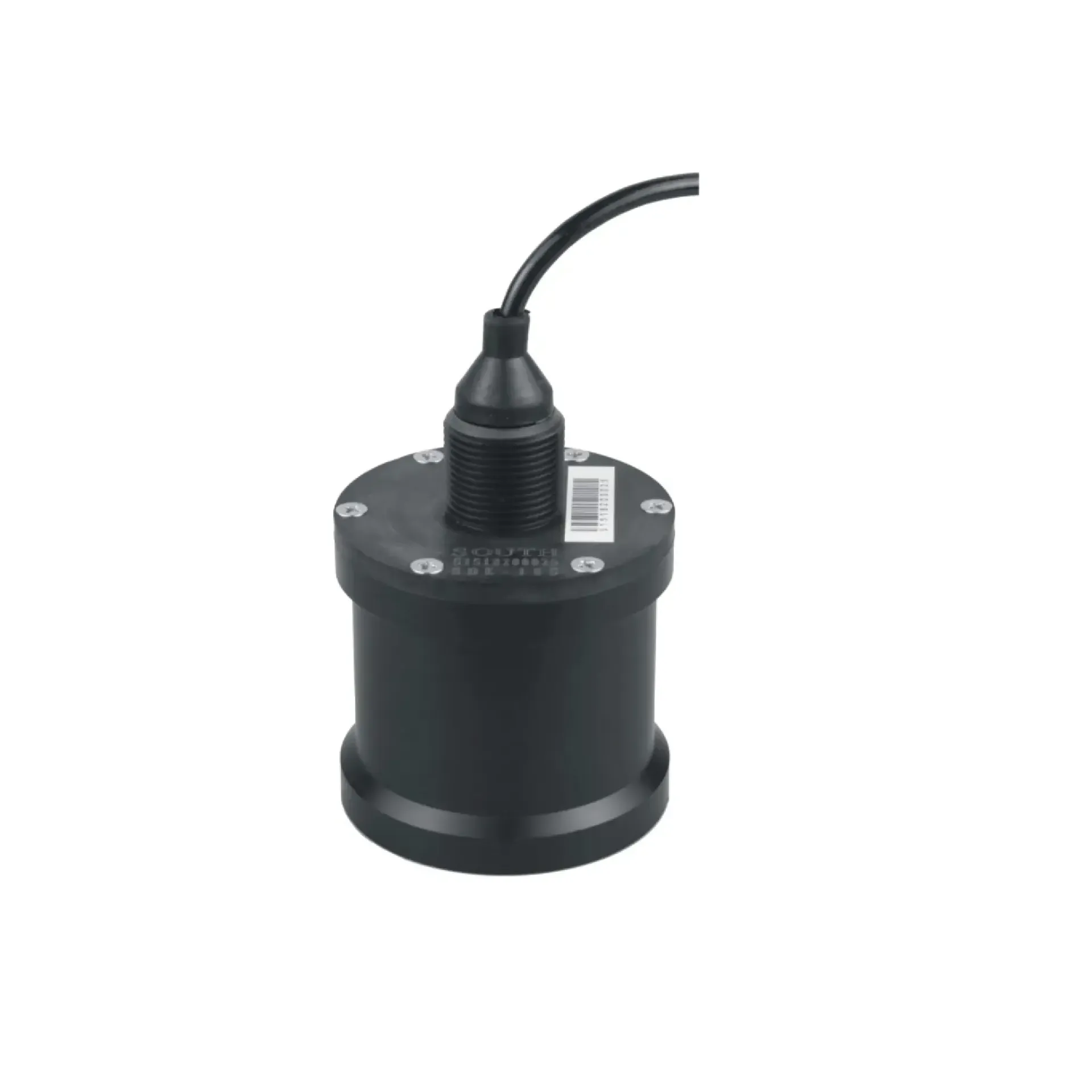
Built for hydrology, buoys, and USV bathymetry—ready to work the moment you power on. It focuses on Centimeter-level depth, All-in-one install, Deep-water rated, ready to connect with sounding, navigation, or monitoring workflows. Typical uses include Water-level monitoring / flood warning, Buoy / platform monitoring, USV bathymetry.
Built for hydrology, buoys, and USV bathymetry—ready to work the moment you power on.
200 kHz sounding transducer, accuracy about ±1 cm, resolution 0.01 m—depth changes are easier to see.
Integrated electronics and transducer for simpler deploy on gunwales, buoys, and USVs.
Fully sealed housing, rated to about 50 m—suited to long immersion and deeper water.
Starts automatically on power-up with minimal intervention; optional wireless link for remote readings.
SDE-18S fires a 200 kHz ultrasonic narrow beam downward, receives the bottom echo, and computes the time of flight for centimeter-level depth.
A 200 kHz survey transducer fires a 5° narrow-beam ultrasonic pulse straight down—focused energy with strong directionality.
The pulse reflects from the bottom back to the transducer. The narrow beam cuts sidelobe clutter for a clean, easy-to-detect echo.
An onboard high-speed processor measures transmit–echo time and converts it to depth D using the speed of sound in water.
Depth data over RS-232 with a customizable format; optional radio for remote wireless transfer.
From shallow water to nearshore, from accuracy to environment—key capabilities in one view.
From flash-flood warning to nearshore harbors, from USVs to cableway platforms—SDE-18S delivers steady depth data for water platforms.
Mounted on riverside or reservoir poles with solar power and radio—streams level changes for flood warning, flood-season ops, and water-info systems.
On buoys, ocean observing platforms, or work decks with solar and radio—records depth and hydrology unattended for long deployments.
Integrates with survey USVs as a mobile sounding system for channel sweeps, reservoir surveys, and underwater terrain mapping.
Continuous depth on gauging cableways—steady input for discharge calculation and sediment monitoring.
Key parameters for the SDE-18S integrated high-accuracy depth sensor (from the product page and sales description).
| Model | SDE-18S |
| Depth range | 0.4 – 100 m (sales description: 0.3–100 m) |
| Frequency | 200 kHz |
| Beam angle | 5° narrow beam |
| Accuracy | ±1 cm ± 0.1%·D |
| Resolution | 0.01 m |
| Power supply | 9 – 18 V DC |
| Operating temperature | -30°C ~ 60°C |
| Pressure rating | approx. 50 m (fully sealed) |
| Data output | RS-232 (format customizable) |
| Form factor | Integrated electronics and transducer |
| Typical applications | Hydrology monitoring, buoys, USV sounding |
| Key points | Professional integrated marine echo sounder, 0.3–100 m. Built for hydrology, buoys, and USV bathymetry. Typical use: Water-level monitoring / flood warning; Buoy / platform monitoring; USV bathymetry; Cableway / gauging depth. |