01 / Hydrology
Hydrology
Routine monitoring on rivers, lakes, reservoirs, and hydraulic sections.
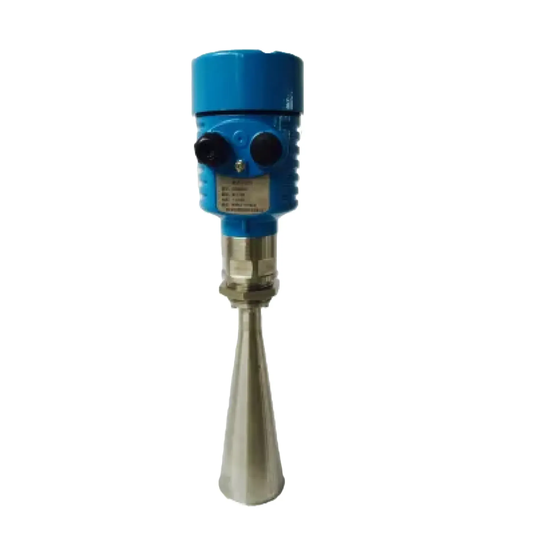
SSW-1 measures stage by radar ranging without touching the water—ideal for sediment, sewage, and flood stations. It focuses on Radar ranging stage, Non-contact durability, Station-ready I/O, ready to connect with sounding, navigation, or monitoring workflows. Typical uses include Hydrology, Harbor and marine, Engineering.
SSW-1 measures stage by radar ranging without touching the water—ideal for sediment, sewage, and flood stations.
mmWave ranging to the water surface for stage where in-water sensors are unsuitable.
No contact with sewage or sediment; keeps measuring through flood events.
RS485 and common hydrology protocols for RTUs and station networks.
Compact bracket mount on bridges, banks, or gate piers with outdoor IP protection.
SSW-1 follows clear collect–process–output steps matched to this product type.
Mount the radar above the section and survey the install elevation.
FMCW/pulse ranging yields air gap to water.
Subtract air gap from datum elevation to get stage.
RTU forwards the stage series on schedule.
Key figures and field capabilities for SSW-1, for quick selection.
From routine monitoring to complex engineering sites, choose deployment and data links around the task.
Routine monitoring on rivers, lakes, reservoirs, and hydraulic sections.
Support harbor, channel, marine survey, and vessel engineering work.
Support dredging, placement, pipeline, mapping, and construction checks.
Connect stable outputs to shore stations or remote data platforms.
Key parameters for SSW-1 (from the product page and sales description).
| Model | SSW-1 |
| Brand | 南方海洋 |
| Product type | Water level gauge |
| Scene | Sediment-laden / flood |
| Link | RS485 / RTU |
| Key points | Non-contact millimetre-wave water level, avoiding immersion and flood damage. Key figures: mmWave radar stage, non-contact, shore bracket, gauging stations. Typical use: Hydrology; Harbor and marine; Engineering; Long-term monitoring. |
| Applications | Hydrology; Harbor and marine; Engineering; Long-term monitoring |