01 / Hydrology
Hydrology
Routine monitoring on rivers, lakes, reservoirs, and hydraulic sections.
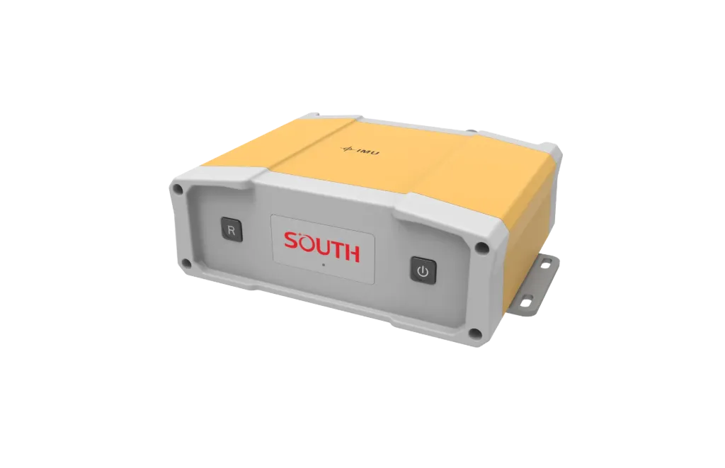
S81D adds dual-antenna heading to Beidou positioning for sweep and multi-sensor small vessels. It focuses on Position plus heading, Dual-antenna course, Synced sounding I/O, ready to connect with sounding, navigation, or monitoring workflows. Typical uses include Hydrology, Harbor and marine, Engineering.
S81D adds dual-antenna heading to Beidou positioning for sweep and multi-sensor small vessels.
One unit provides horizontal position and heading, reducing extra compass gear.
Master/slave antennas yield true heading for line-keeping and beam georeferencing.
Position and heading on shared or split ports for sounding software.
Lighter than flagship units for small boats, RIBs, and USV masts.
S81D follows clear collect–process–output steps matched to this product type.
Align master/slave antennas on the vessel axis and measure baseline.
Initialize heading fix in open sky/water.
Output position plus heading to acquisition software.
Compare planned lines with actual vessel track.
Key figures and field capabilities for S81D, for quick selection.
From routine monitoring to complex engineering sites, choose deployment and data links around the task.
Routine monitoring on rivers, lakes, reservoirs, and hydraulic sections.
Support harbor, channel, marine survey, and vessel engineering work.
Support dredging, placement, pipeline, mapping, and construction checks.
Connect stable outputs to shore stations or remote data platforms.
Key parameters for S81D (from the product page and sales description).
| Model | S81D |
| Brand | 南方海洋 |
| Product type | GNSS&RTK |
| P&H | Position + heading |
| Fit | Small craft / USV |
| Key points | Dual antennas output position and heading together for sounding sync. Key figures: Beidou position + dual-antenna heading, vessel course, sounding sync. Typical use: Hydrology; Harbor and marine; Engineering; Long-term monitoring. |
| Applications | Hydrology; Harbor and marine; Engineering; Long-term monitoring |