01 / Hydrology
Hydrology
Routine monitoring on rivers, lakes, reservoirs, and hydraulic sections.
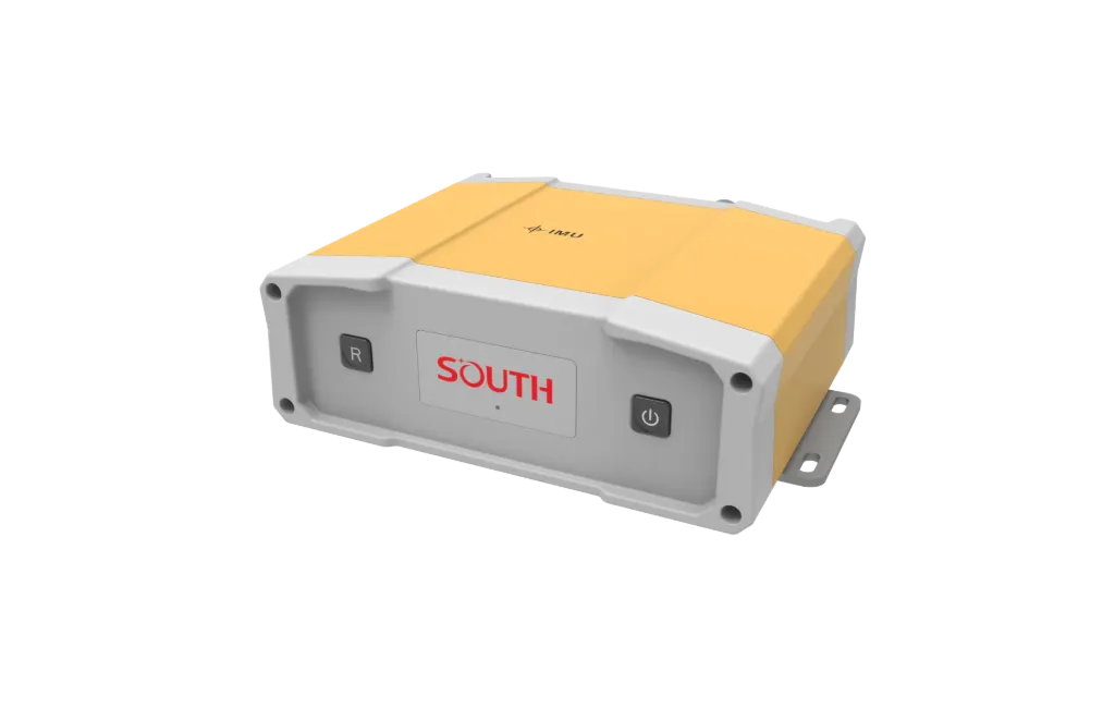
S81 is a compact multi-GNSS RTK receiver for mid-size survey boats and temporary vessel setups. It focuses on Multi-GNSS fix, Centimeter RTK, Sounder-ready I/O, ready to connect with sounding, navigation, or monitoring workflows. Typical uses include Hydrology, Harbor and marine, Engineering.
S81 is a compact multi-GNSS RTK receiver for mid-size survey boats and temporary vessel setups.
Tracks Beidou and major GNSS; fast fixes in open water for sounding positions.
Centimeter-class horizontal position with a differential source.
Serial/Bluetooth NMEA-style output for sounders and nav software.
Compact body for mast or deck mount on small and mid-size survey boats.
S81 follows clear collect–process–output steps matched to this product type.
Mount the survey antenna near the reference point and measure offsets.
Bring in radio or network differential corrections.
Stream lat/lon and quality flags to sounding software.
Verify with known points or repeated lines.
Key figures and field capabilities for S81, for quick selection.
From routine monitoring to complex engineering sites, choose deployment and data links around the task.
Routine monitoring on rivers, lakes, reservoirs, and hydraulic sections.
Support harbor, channel, marine survey, and vessel engineering work.
Support dredging, placement, pipeline, mapping, and construction checks.
Connect stable outputs to shore stations or remote data platforms.
Key parameters for S81 (from the product page and sales description).
| Model | S81 |
| GNSS | GNSS |
| RTK | RTK |
| Output | NMEA / Serial |
| Key points | Shipborne multi-constellation RTK positioning to centimetre level with corrections. Key figures: Beidou multi-GNSS, RTK, vessel survey, compact receiver. Typical use: Hydrology; Harbor and marine; Engineering; Long-term monitoring. |
| Applications | Hydrology; Harbor and marine; Engineering; Long-term monitoring |