01 / Seabed map
Autonomous seabed map
AUV with sounding/sidescan maps an area.
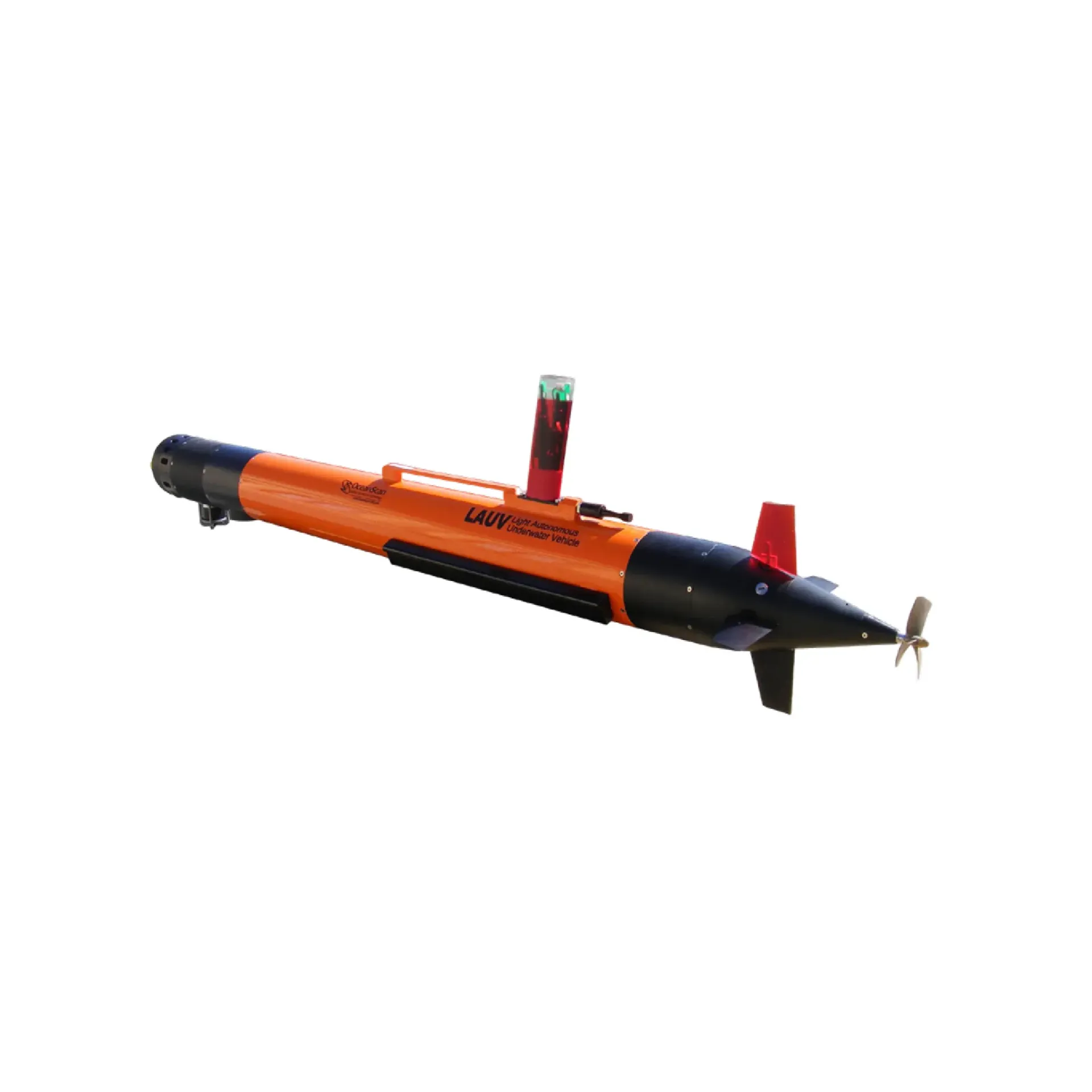
LAUV AUV runs pre-planned missions with sounding, sidescan, camera and other survey payloads for reduced-crew harbour, nearshore and offshore surveys. It emphasizes key survey capability, key survey capability, key survey capability, and integrates readily with sounding, navigation or monitoring workflows. Typical uses include key survey capability, key survey capability, key survey capability.
LAUV AUVs transit on planned missions with bathymetry, sidescan, camera and related payloads for reduced-crew harbour, nearshore and offshore surveys.
Runs lines/depth profiles automatically.
Acoustic/optical payloads by mission.
Shore planning with optional surface monitoring.
Recover, download, post-process.
After shore mission planning, the AUV runs lines and logs payload data; after recovery, download and processing close the survey loop.
Set lines and payload parameters.
Safe launch into autonomy.
Log payload data along lines.
Recover, download and map.
Core capabilities of LAUV for selection and project discussions.
Typical operating scenes and platform choices for LAUV.
AUV with sounding/sidescan maps an area.
Fly corridor lines to inspect exposure and anomalies.
Autonomous section sampling of lake/sea environmental parameters.
AUV surveys waters awkward for ships.
Key parameters for LAUV (from the product page and sales description).
| Model | LAUV |
| Key points | Flies pre-programmed near-bottom or constant-depth lines with survey payloads. LAUV AUVs transit on planned missions with bathymetry, sidescan, camera and related payloads for reduced-crew harbour, nearshore and offshore surveys. Typical use: Autonomous seabed map; Pipeline AUV patrol; Environmental sections; Restricted-water survey. |
| Applications | Autonomous seabed map; Pipeline AUV patrol; Environmental sections; Restricted-water survey |