01 / Hydrology
Hydrology
Routine monitoring on rivers, lakes, reservoirs, and hydraulic sections.
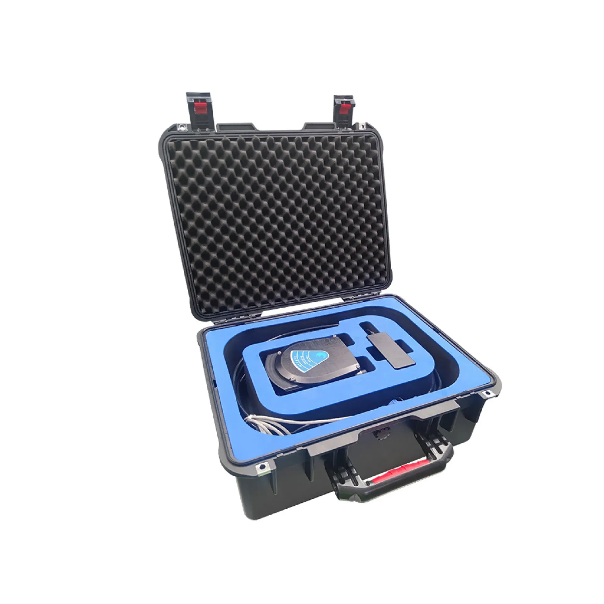
HY1672 multibeam imaging sonar forms HD sector imagery of underwater targets for quay, bridge-pier, wreck and pipeline inspection and search. It emphasizes sector-scan HD imaging, small-target resolution and ROV/vessel integration. Typical uses: hydrometric surveys, port and coastal work and construction surveys.
HY1672 is a multibeam imaging sonar for sector HD views of docks, wrecks, pipelines, and security targets from ROV or vessel.
Multibeam sector images refresh quickly for dynamic search and close structure checks.
Sensitive to chains, pipes, pile defects, and outline changes.
Ethernet/common links into ROV or vessel display/record systems.
Better than towed SSS for staring and orbital structure inspection.
HY1672 follows clear collect–process–output steps matched to this product type.
ROV/vessel probe approaches the structure.
Multibeam forms a live sector image.
Orbit or multi-view recording around the target.
Identify scour, cracks, debris, and deposits.
Key figures and field capabilities for HY1672, for quick selection.
From routine monitoring to complex engineering sites, choose deployment and data links around the task.
Routine monitoring on rivers, lakes, reservoirs, and hydraulic sections.
Support harbor, channel, marine survey, and vessel engineering work.
Support dredging, placement, pipeline, mapping, and construction checks.
Connect stable outputs to shore stations or remote data platforms.
Key parameters for HY1672 (from the product page and sales description).
| Model | HY1672 |
| View | Sector / stare |
| Carrier | ROV / Vessel |
| Key points | Fan-beam multibeam imaging for quays, piers, and other structures. Key figures: Multibeam imaging sonar, sector imaging, structure inspection, ROV/vessel. Typical use: Hydrology; Harbor and marine; Engineering; Long-term monitoring. |
| Applications | Hydrology; Harbor and marine; Engineering; Long-term monitoring |